NOAA
Noaa: Cpc: Regional Climate Maps
Provides large colorful maps of climate data about each continent for the current week, month, or previous quarter.
NOAA
Noaa: National Weather Service: Regional Climate Maps Former Soviet Union
Find weekly, monthly, and 3-month climate maps for Russia and the Former Soviet Union. Includes total precipitation and minimum and maximum temperature.
Other
Paleomap: Climate History
Have you wondered what the Earth's climate was like millions of years ago? Click on a period to view a map and explanation of ancient Earth's climate.
NOAA
Noaa: Regional Climate Maps: Mexico
This homepage provides links to precipitation and temperature maps of Mexico.
PBS
Pbs Learning Media: South America Interactive Map
This interactive map explores the continent and countries of South America. Through political, physical, population, and climate map layers and individual country views, learn about the boundaries that define the continent's 12 sovereign...
Other
Earth Journalism Network: Climate Commons
A unique interactive tool that embeds news articles and information about climate change into a map of the United States. Users are able to explore what the impact of climate change at a local, regional or national level, as well as...
Other
Mcdwn: Climate
Wonderful site! Learn about climates and gather helpful information. When you are done, take the climates quiz to show what you have learned.
Other
Government of Alberta: Agroclimatic Atlas of Alberta: Climate of Alberta
Describes the climate of Alberta and how it is different in different regions of the province. Provides a map that illustrates this concept. Includes links to other articles on Alberta's weather and climate.
Columbia University
Nasa: Sedac: Population, Landscape, and Climate Estimates
[Free Registration/Login Required] A huge resource for researchers without GIS capabilities who need data on population and land area by country across a range of physical characteristics. These include measures such as the number of...
University of Minnesota
U Mn: Global Rem: Climate Change, Developing Countries/regions, & Migration
This resource consists of maps and texts about climate change and its impact on migration. The module's goal is to reveal how less developed regions such as Africa suffer disproportionately from climate change and to stimulate critical...
CK-12 Foundation
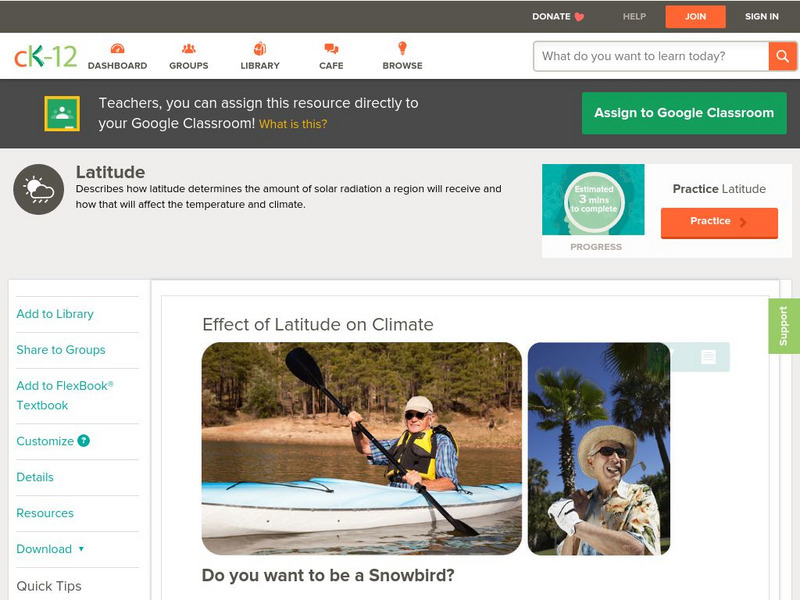
Ck 12: Earth Science: Effect of Latitude on Climate
[Free Registration/Login may be required to access all resource tools.] How latitude affects the climate of a region.
CK-12 Foundation
Ck 12: Earth Science: Effect of Latitude on Climate
[Free Registration/Login may be required to access all resource tools.] How latitude affects the climate of a region.
US Environmental Protection Agency
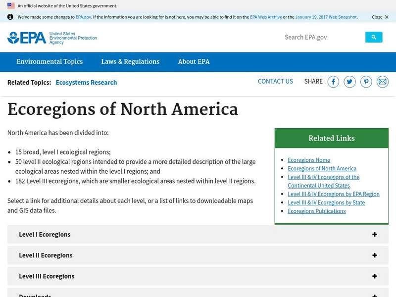
Epa: Ecological Regions of North America
A helpful map of North America which color codes its 15 ecological regions. Click on the different regions for a brief description of the area.
Geographyiq
Geography Iq
Detailed geographical information on any country is available at this site. Within the World Map section, you can get facts and figures about each country's geography, demographics, government, political system, flags, historical and...
National Weather Service
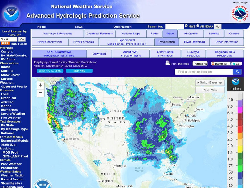
National Weather Service:climate Prediction Center: Daily Precipitation Analysis
Find real-time daily precipitation analysis for the United States, Mexico, and South America as well as accumulated precipitation maps for the past 30 or 90 days.
Climate Zone
Climate in Mexico
Tables for the different climate regions in Mexico show the average monthly temperature, rainfall and snowfall in this North American country. General geographical information and a map are also included.
Climate Zone
Climate Zone: Climate of Bangladesh
Tables for the different climate regions in Bangladesh show the average temperature, rainfall and snowfall in this Asian country.
Other
Canadian Arctic Profiles
Detailed sections providing further information on the Canadian Arctic's exploration, climate, maps, migration, and indigenous people, make this resource useful for many topics. Put together with images, this resource is useful for high...
Cornell University
Cornell University: The Regional Climate Centers
Site provides information on the National Climatic Data Center's Regional Climate Centers Program. Click a region on the map of the United States and find information about that region's climate!
Climate Literacy
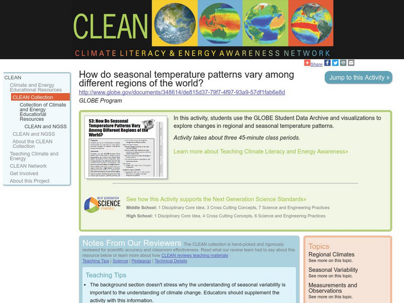
Clean: Seasonal Temperature Pattern Variation in Different Regions of the World
Students use GLOBE climate science visualizations to display student data on maps and to learn about seasonal changes in regional and global temperature patterns.
Other
Knight's Canadian Info Collection: Geographic Regions of Canada
Canada is divided into distinct regions, each with a very different landscape and climate. Geographic and ecozone maps as well as text information is included.
Other
University of Wisconsin Marathon County: Koppen's Classification Map
Keeping vegetation in mind, Koppen's Climate Classification Map is the most widely used system of measuring the combination of precipitation and temperature. This map identifies areas and labels them variations of tropical, dry,...
C3 Teachers
C3 Teachers: Inquiries: Geography
A learning module on world geography. It includes several supporting questions accompanied by formative tasks and source materials, followed by a summative performance task. Students investigate where their community is located, where...
Science Buddies
Science Buddies: Dry Spells, Wet Spells: How Common Are They?
Here's a project that looks at what the weather was like for over a hundred years. The goal of the project is to compare long-term precipitation patterns in different regions of the country. You will work with historical climate data,...


