PBS
Pbs Learning Media: South America Interactive Map
This interactive map explores the continent and countries of South America. Through political, physical, population, and climate map layers and individual country views, learn about the boundaries that define the continent's 12 sovereign...
PBS
Amazon: South America
Map of South America in which students can use the interactive site to explore political, physical, climate and populaton features.
Discovery Education
Discovery Education: Geography of South America
Introduce your students to South America with this physical map activity. The resource contains a detailed lesson plan to help students learn about the geography, people, and environment of South America.
Enchanted Learning
Enchanted Learning: South America
Here at this site from Enchanted Learning, you will find many links, lesson plans, map printouts, and activities on South America. The information is very good, and links are also provided for additional information.
Curated OER
Educational Technology Clearinghouse: Maps Etc: South America, 1872
Physical map of South America with map inserts of the Isthmus of Panama and principal products and sea ports of South America. Included are water currents and routes, railroads, select land elevations, time zones, as well as latitude and...
Curated OER
Educational Technology Clearinghouse: Maps Etc: South America (Physical), 1915
Physical map of South America showing major cities (including cities with a population over one million), major landforms and waterways, including the Andes, the Amazon River and Amazon Basin, the Guyana Highlands, the Parana River, the...
Curated OER
Educational Technology Clearinghouse: Maps Etc: South America, 1883
Physical map of South America.
Curated OER
Etc: Maps Etc: Physical Map of South America, 1898
A map from 1898 of South America showing the general physical features including mountain systems, prominent peaks and volcanoes, river and lake systems, plateaus, and coastal features. The map includes an insert of the Isthmus of...
Curated OER
Etc: Maps Etc: Physical Map of South America, 1902
A map from 1902 of South America showing the general physical features including mountain systems, prominent peaks and volcanoes, river and lake systems, plateaus, and coastal features. The map is color-coded with the highlands above...
Curated OER
Etc: Maps Etc: Physical Map of South America, 1901
A map from 1901 of South America showing the general physical features including mountain systems, prominent peaks and volcanoes, river and lake systems, plateaus, and coastal features. The map is color-coded with the highlands above...
Curated OER
Etc: Maps Etc: Physical Map of South America, 1916
A map from 1916 of South America showing the general physical features including mountain systems, prominent peaks and volcanoes, river and lake systems, plateaus, and coastal features. The map is color-contoured with land elevations...
Curated OER
Etc: Maps Etc: Physical Map of South America, 1910
A physical map from 1910 of South America showing color-contoured land elevations and water depths. Elevations range from sea level to over 6,500 feet, and water depths range from sea level to below 13,000 feet. This map shows the...
Lizard Point Quizzes
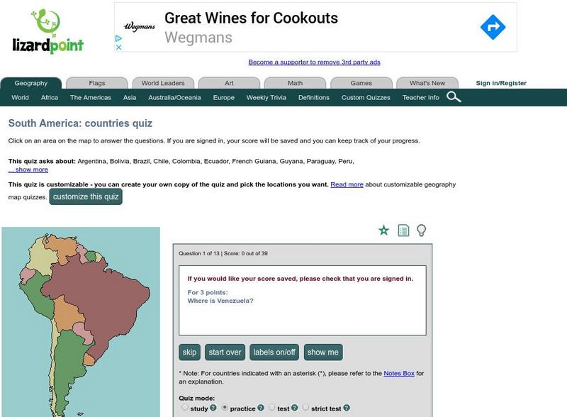
Lizard Point: The South America Quiz
Take this interactive map quiz from Lizard Point to practice and test your knowledge of South American geography.
Curated OER
Educational Technology Clearinghouse: Maps Etc: South America (Physical), 1868
A map from 1868 of South America showing the physical features of the region, vegetation types, ocean currents, temperatures, principal products and mineral deposits. Mountain chains are represented by lines of varying thickness, with...
Curated OER
Educational Technology Clearinghouse: Maps Etc: South America (Physical), 1901
A map from 1901 of South America showing the physical features of the region. This map is color-coded to show general elevations from sea level to over 6,500 feet, mountain systems, drainage divides, lakes, rivers, coastal features, and...
Curated OER
Educational Technology Clearinghouse: Maps Etc: Northwestern South America, 1916
A physical and political map of northwestern South America in 1916 showing the boundaries for Columbia, Venezuela, the Guianas, Ecuador, Peru, and Bolivia at the time. The map uses color-contouring to show elevations from sea level to...
Other
Museum of Unnatural History: Virtual Exploration Society: Colonel Percy Fawcett
Read about the exciting adventures of Col. Percy Fawcett as he mapped the jungles of South America in the early 20th century.
Curated OER
Educational Technology Clearinghouse: Maps Etc: North America, 1915
North America including Canada, the United States, Mexico, Caribbean islands, Central America and a portion of South America, showing physical features.
National Weather Service
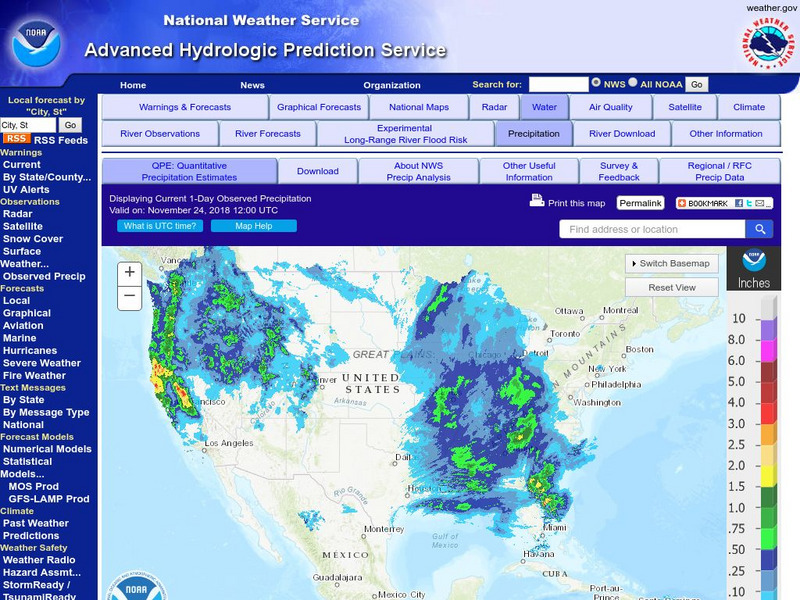
National Weather Service:climate Prediction Center: Daily Precipitation Analysis
Find real-time daily precipitation analysis for the United States, Mexico, and South America as well as accumulated precipitation maps for the past 30 or 90 days.
Curated OER
Etc: Maps Etc: Argentine Republic, Chile, Paraguay, and Uruguay, 1904
A map from 1904 of the Argentine Republic, Chile, Paraguay, and Uruguay. This map shows capital cities, major towns, ports, rivers, terrain, and coastal features. The map shows mean annual temperatures for selected cities, elevations for...


