Hi, what do you want to do?
Other
Metrocosm: 7 Maps to Help Make Sense of the Middle East
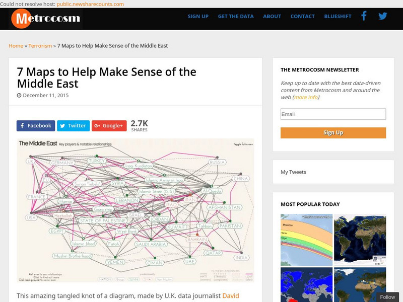
Keep up to date with the everchanging Middle East Region. The Middle East has been a tangled web of alliances since WWI. These maps attempt to make sense out of the this often confusing area. The 7 maps show the relationships among...
World Atlas
World Atlas: Israel
Features an overview of the history of Israel from 750 BC to modern times. By clicking on any tab above the maps you can learn about topics such as flags, geography, travel, and more.
Nations Online Project
Nations Online: Palestine
Great reference guide that takes you on a virtual trip to the Middle East nation of Palestine. Background overview is given on its art, culture, people, environment, geography, history, tourism, economy, and government. There are...
BBC
Bbc: News: Country Profile: Israel and Palestinian Territories
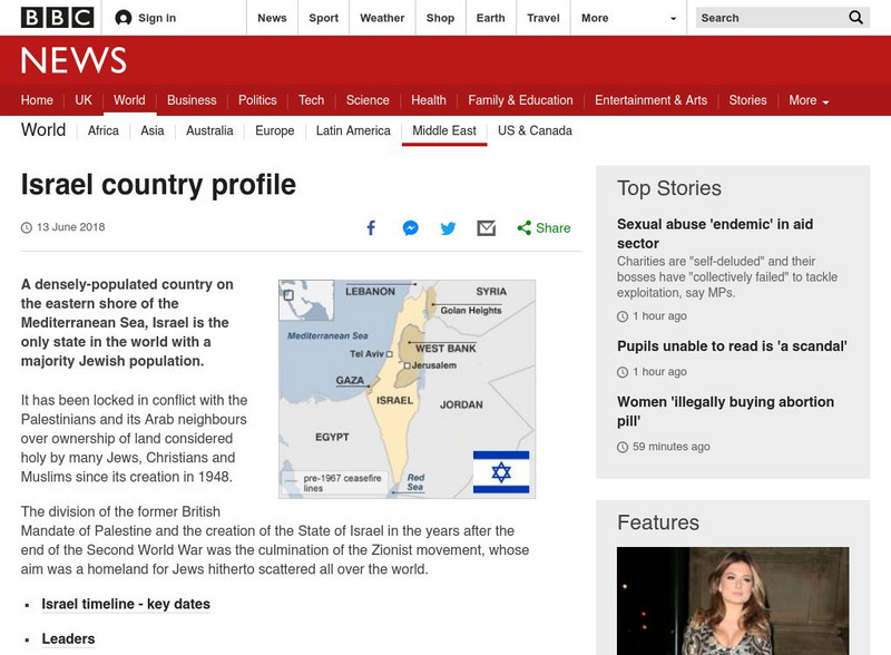
The BBC provides a general overview of the country of Israel and Palestinian Territories. Content includes a focus on Israeli and Palestinian recent history, leaders and media. There are also video and audio clips of recent events.
Harry S. Truman Library and Museum
Harry S. Truman Library and Museum: Un Resolution 181: 1947 Partition
The map shows the partition of Israel according to UN Resolution 181 in 1947.
University of Texas at Austin
Map of the West Bank
A colorful political map of the West Bank of the Jordan River. Shows shrines, mines, antiquities sites, bordering countries, Israeli civilian and military areas,roads, and razed villages. Map reflects the territory in 1992.
PBS
Pbs News Hour: Israeli Palestinian Conflict
This site provides links to news articles, background reports, and other resources such as maps and lesson plans concerning the Israeli-Palestinian Conflict. Updated to December, 2010.
Other
Teaching Social Responsibility: Teachable Moment: Israelis & Palestinians
Case studies that provide information about the conflict in Israel between the Palestinians and the Israelis. Encourages students to debate and discuss the conflict and try to come up with a solution to the problem. (2011)
American-Israeli Cooperative Enterprise
Jewish Virtual Library: The Partition Plan
The background for creating a plan to partition Palestine, as well as the details of the plan itself and its effects are discussed.
Other
Le Monde Diplomatique: The First Arab Israeli War (1948 1949)
This site provides maps of the attacks and counter-attacks during the First Arab-Israeli War.
American-Israeli Cooperative Enterprise
Jewish Virtual Library: The Golan Heights
Information on the Golan Heights includes: an overview of the geography, geology, maps, statistics, and history. Also, a section on the Golan Heights Law of December 14, 1981 is included. Please know that some statistical information may...
Encyclopedia of Earth
Encyclopedia of Earth: West Bank
The Encyclopedia of Earth provides an overview of West Bank, including its geography, natural resources, history, government, economy, and much more. Maps and images are also included, along with sources used to create the entry.


