Hi, what do you want to do?
Smithsonian Institution
National Museum of Natural History: Ocean Planet: Ocean Currents
The Ocean Planet exhibit at the Smithsonian explains the general features of ocean circulation. A general look at upwelling, deep water, and currents are combined for an overall view.
NASA
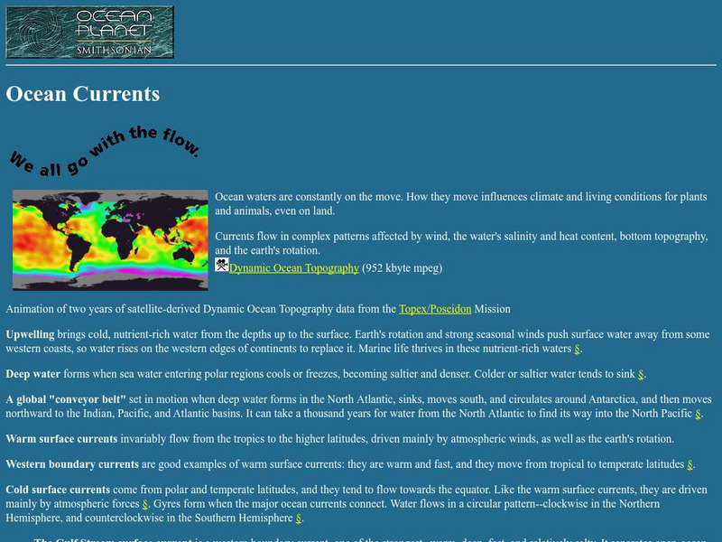
Nasa: Dynamic Ocean Topography With Current Arrows
Color-coded image of ocean currents depicts directional flow and speed of the currents across the globe.
NASA
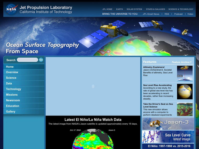
Nasa: Ocean Surface Topography From Space
Find out about ocean surface topography and the many contributing factors that continually shape the oceans and its sea levels.
Texas A&M University
Ocean World: Bringing the Ocean to the Classroom
Online resource for students and teachers to see information on icebergs, fisheries, coral reefs, waves, currents and more. Provides teachers with learning activities. Has its own ask-an-expert site (Ask Dr. Bob), and provides real-time...
Science Education Resource Center at Carleton College
Serc: Fathoms, Ship Logs, and the Atlantic Ocean
Middle schoolers use data from ship logs to graph a profile of the Atlantic Ocean. They will rely on prior knowledge of seafloor topography, instructions on how to read a bathymetric map, and observe a demonstration where the depth of...
Texas A&M University
Ocean World: Satellite Oceanography
What does a satellite in space have to do with the oceans? Discover the answer to this question as well as uncover some interesting facts about satellites at this site.
NOAA
Noaa: Ngdc: Images, Visualizing Data
The National Geophysical Data Center has transformed extensive ocean research into colorful video, 3D maps, charts posters and more! This site starts off with a film clip of a dive into the Marianas trench and then lead you to other...
NASA
Nasa: Oceanography
Join NASA in its study of oceanography and learn about the Earth system, the physical ocean, and life in the ocean. Try out the Giovanni: Earth Data Visualization Tool and access satellite-derived data to enhance the learning experience.
Vision Learning
Visionlearning: Earth Science: Plate Tectonics I: Geologic Revolution
Instructional module focusing on the development of plate tectonic theory. Discussion includes the evidence of Pangaea, and the processes of seafloor topography and seafloor spreading. Site also includes an interactive practice quiz and...
Georgia Department of Education
Ga Virtual Learning: Weather and Climate
In this amazingly comprehensive interactive tutorial you will learn how factors such as ocean currents, topography, and air currents affect weather patterns. You will also learn the similarities and differences between weather and climate.
Latimer Clarke Corporation
Altapedia Online: World Map Resources
Features downloadable World Political and Physical Maps that include country names, country borders, ocean features, island names, and lat/long graticules. Clicking on any part of the map enlarges it.
CK-12 Foundation
Ck 12: Plix: Bathymetric Evidence for Seafloor Spreading
[Free Registration/Login Required] A site where students can label the features of the ocean floor such as: mid-ocean ridge, rift, and more. Also on the site is a short quiz about the different topography of the ocean floor.
CK-12 Foundation
Ck 12: Earth Science: Elevation on the Earth
[Free Registration/Login may be required to access all resource tools.] Using latitude and longitude to find a location.
US Navy
Habitats: Beaches Characteristics
This resource presents an overview of beach structure. This article briefly covers beach features such as spits, tombolos and barrier islands.
Curated OER
Unesco: Australia: Lord Howe Island Group
A remarkable example of isolated oceanic islands, born of volcanic activity more than 2,000 m under the sea, these islands boast a spectacular topography and are home to numerous endemic species, especially birds.


