Annenberg Foundation
Annenberg Learner: United States History Map: The Nation Expands
After examining a map showing the expansion of the United States, click to read about each addition to the country and see where that addition is. Play Expansion Concentration to test your skills.
The Newberry Library
Newberry: Historical Geography of Transportation: Map 10: United States, 1835
Lessons K-12 examining the role of transportation systems in the development and settlement of the lands between the Appalachian Mountains and the Mississippi River.
Annenberg Foundation
Annenberg Learner: United States History Map: From Sea to Shining Sea
A great interactive map that reinforces your knowledge of the geographic features of the United States. Begin by reading general information on reading maps, then play the game.
National Geographic
National Geographic: Mapping u.s. Watersheds
Students will identify and explore major rivers and watersheds in the United States.
NOAA
Noaa: Estuaries 101 Curriculum: Where Rivers Meet the Sea
A complete learning module where students watch an introductory video, take an estuary quiz, learn about landforms related to the environment, and use maps and real-time data to study estuary ecosystems in the United States.
Library of Congress
Loc: Map Collections 1500 2002
This collection provides maps dating back to 1500 up to the present. The collection includes: cities, towns, discovery and exploration, conservation and environment, military battles, cultural landscapes, transportation, communication,...
Library of Congress
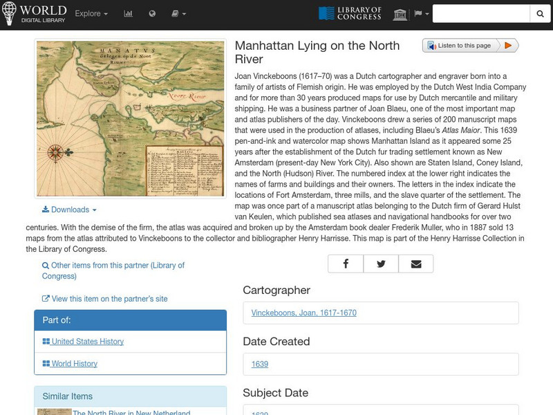
World Digital Library: Manhattan Lying on the North River
A historic map of Manhattan created by cartographer Joan Vinckeboons around 1639 for the Dutch West India Company. A feature on the page allows the visitor to listen to and read the accompanying descriptive text in seven different...
Then Again
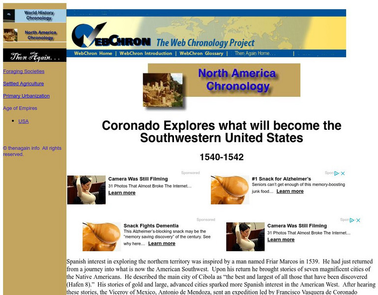
Then Again: Web Chron: Coronado Explores the Southwestern United States
This page details Coronado's expedition, the discovery of the Grand Canyon and the search for Quivira. Click on the map for a closer look at Coronado's Expedition.
Curated OER
Educational Technology Clearinghouse: Maps Etc: The Early United States, 1790
A map of the United States in 1790 showing the territorial claims of the states at the time, and the British and Spanish possessions and territory disputes. The map shows the frontier lines or extent of settlement from the coast of Maine...
Curated OER
Educational Technology Clearinghouse: Maps Etc: The United States, 1800
A map of the United States in 1800 showing the territorial claims of the states at the time, the British and French possessions, and territory disputes. The map shows the frontier lines or extent of settlement from the coast of Maine to...
Curated OER
Mountains, Plains, Rivers, Isothermal Lines of the United States, 1873
A map from 1873 of the United States showing the physical features of mountain systems, plateaus, basins, plains, rivers, lakes, and coastal features, with elevations given for prominent peaks given in feet above sea level. The map is...
Curated OER
Educational Technology Clearinghouse: Maps Etc: The United States, 1790
A map of the early United States in 1790 showing the boundary established west to the Mississippi River, and is keyed to show undefined or disputed boundaries, boundaries of States and territories, and boundaries not settled. The map...
Curated OER
Etc: Early Territory of the United States, 1783 1863
A map of the early United States west of the Mississippi River, showing the original territory after the Treaty of Paris 1783, the territory northwest of the Ohio River, the territory south of the Ohio River, the Mississippi Territory...
Curated OER
Etc: The Territory of the United States, 1845 1886
A map from 1886 of the United States showing the territories ceded by Mexico and the acquisition of Alaska. The map is color-coded to show the possessions of the United States, Great Britain, and Mexico at the time, and the Mexican...
Curated OER
Etc: Maps Etc: The United States at the Close of the Revolution, 1783
A map of the United States at the close of the American Revolutionary War (1783) showing the newly formed States, and their claims to the lands west of the Allegheny Mountains to the Mississippi River. The map notes that the territory...
Curated OER
Educational Technology Clearinghouse: Maps Etc: The United States, 1800
A map of the United States in 1800 showing the original thirteen states with the additions of Vermont (1791), Kentucky (1792), and Tennessee (1796), the State claims to western lands by South Carolina and Georgia, the extent of the...
Curated OER
Etc: Original Territory of the United States, 1783 1790
A map of the United States showing the territorial growth from 1783 to 1790. The map is color-coded to show the original territory after the American Revolutionary War, the Northwest Territory north of the Ohio River in 1787, the...
Curated OER
Etc: Maps Etc: Political Acquistitions of the United States, 1911
A map from 1911 of the United States showing the territorial acquisitions from the original States and Northwest Territory in 1783 to the Gadsden Purchase south of the Gila River in 1853. The map shows state capitals and major cities,...
Curated OER
Educational Technology Clearinghouse: Maps Etc: United States of America, 1883
A map from 1883 of the 'lower forty-eight’ United States showing state boundaries and state capitals, major cities and towns, mountain systems, lakes, rivers, and coastal features. The map shows Yellowstone National Park, the first in...
Curated OER
Etc: Theatre of War in the United States, 1861 1865
A map showing the extent of the Confederate territories east of the Mississippi River during the American Civil War (1861-1865). The map shows state lines and capitals, major cities, forts, battle sites, and rivers in the region. The map...
Curated OER
Etc: Maps Etc: United States and Confederate States, 1861
A map of the United States and Confederate States in 1861. The map is color-coded to show Free Union States, Slave Union States, Confederate States seceding before April 15, 1861, Confederate States seceding after April 15, 1861,...
Curated OER
Educational Technology Clearinghouse: Maps Etc: United States, 1888
A map from 1888 of the United States showing state boundaries and state capitals, major cities and towns, mountain systems, lakes, rivers, and coastal features. Longitude from Greenwich is shown at the top of the map, and from Washington...
Curated OER
Educational Technology Clearinghouse: Maps Etc: The United States, 1899
A map from 1899 of the United States showing the physical features of the area, including mountain systems and highlands, plateaus, basins, plains, lakes, rivers, and coastal features. This map also shows the six conventional state...
Curated OER
Educational Technology Clearinghouse: Maps Etc: The United States, 1890
A map from 1890 of the United States showing the territorial expansion from the original Thirteen Colonies to the states and territories of 1890. This map shows state capitals, railroads, lakes, and rivers. The map is color-coded to show...


