University of Texas at Austin
University of Texas: Persian Empire About 500 Bc
Follow the Royal Highway of Darius I on this old map of the Persian Empire from University of Texas. The borders of the satrapies are shown also.
Tom Richey
Tom Richey: Power Point: The Persian Empire
Tom Richey's PowerPoint presentation on the Persian Empire includes a comprehensive overview of ancient Persia with maps, informational text, and humor.
Other
Visulistan: Mapping the Empires of History #Infographic
This infographic maps the empires of history including the British Empire, the Mongol Empire, the Russian Empire, the Spanish Empire, the Umayyad Caliphate, the Portuguese Empire, the Achaemenid Empire (First Persian Empire), the Ottoman...
World History Encyclopedia
World History Encyclopedia: Achaemenid Empire
Encyclopedia entry on the Achaemenid or early Persian Empire. Page contains maps, photos, quotes, video and bibliography.
United Nations
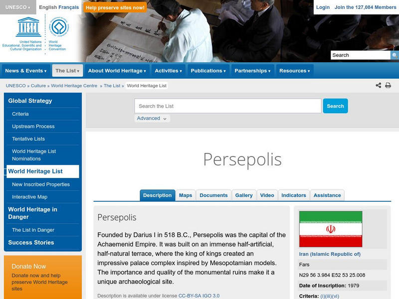
Unesco: Persepolis
This World Heritage website looks at the ancient city of Persepolis, located in Iran. Found here are a description, maps, documentation, photos, and a video on its history.
Oswego City School District
Regents Exam Prep Center: Early Peoples
Regents prep site giving the history of the Paleolithic Period and Early River Civilizations. Includes pictures and map.
Curated OER
Etc: Maps Etc: The Empire of Alexander the Great, 323 Bc
A map showing the extent of the Empire of Alexander the Great in 323 BC, from Macedonia to northern Africa, across Asia Minor to the Indus River. The inset map show the site of the Battle of the Granicus in 334 BC, near Troy, where...


