Hi, what do you want to do?
US Geological Survey
Usgs: Maps of the United States
Resource presents many maps of the United States along with descriptions of each.
Other
National Atlas of the United States
The National Atlas of the United States provides comprehensive information collected by the Federal Government and delivered through interactive maps. Select from a variety of scientific, societal, and historical information to be...
US Geological Survey
Usgs: Geologic Provinces of the United States: Records of an Active Earth
Discover what geological treasures abound all around the nation. The United States has been organized into provinces based on geological features. Click on a province on the map, or on the links below it, to view a page of information...
Houghton Mifflin Harcourt
Holt, Rinehart and Winston: World Atlas: United States
Features a detailed map of the United States with some basic facts. Click on each state name to get even a more detailed map and information.
Pew Research Center
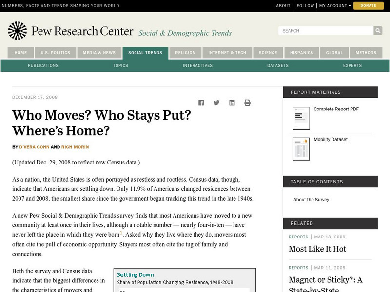
Pew Social and Demographic Trends: Migration Flows in the United States
The Pew Hispanic Research Center details the migration flows of the United States. Breaks down U.S. migration patterns from the last 20 years. Scroll mouse over map to see the regional migration throughout the years. View a map which...
Smithsonian Institution
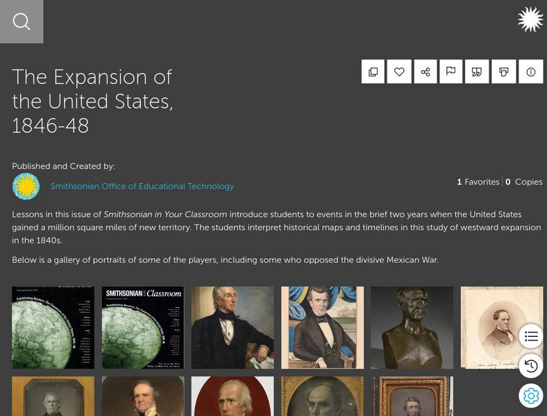
Smithsonian Learning Lab: The Expansion of the United States, 1846 48
This online lesson plan shows students through primary sources how the borders of the U.S. changed in just a few years. They are asked to analyze maps and use map skills. All maps and worksheets are included as well as additional resources.
Other
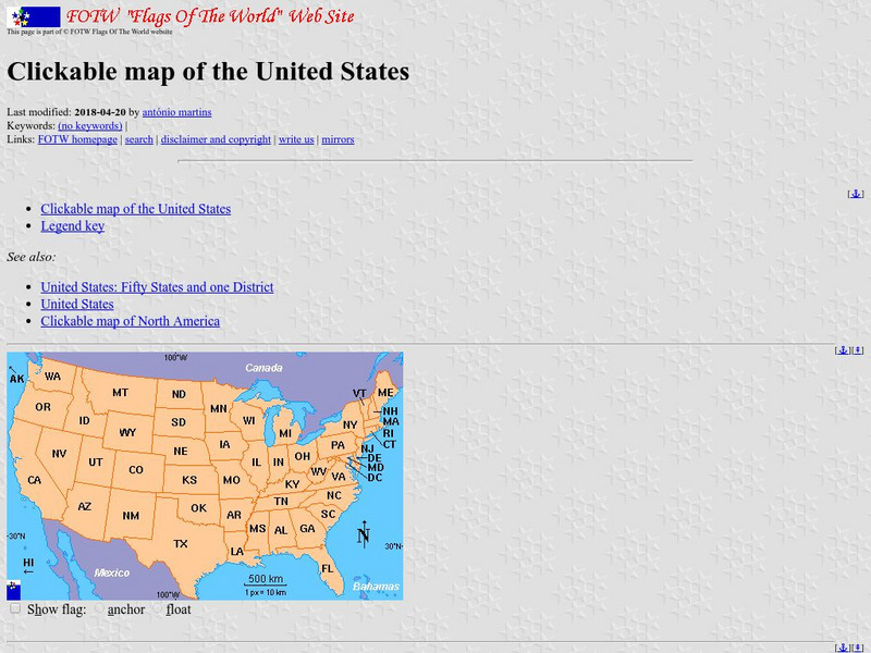
Flags of the World: Clickable Flag Map of the Us
This interactive map of the United States provides a detailed description of the flag of each state and its history. Each state has a colorful picture of the flag and extensive information about state flags, banners, and crests.
CRW Flags
Flags of the World: Clickable Map of the United States
Includes both printable images and fascinating trivia behind the flag of each state. It includes alternate flags used in the past.
Ducksters
Ducksters: Geography Games: Map of the United States
Play this fun geography map game to learn about the locations of the 50 states of the United States.
Pew Research Center
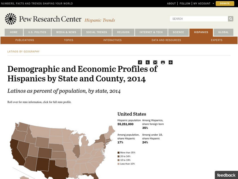
Pew Hispanic Center: Interactive Map: Where Latinos Live in the United States
Detailed population maps graphically demonstrate that changing demographics of the Hispanic population in the United States from 1980 to 2007.
US Geological Survey
U.s. Geological Survey: Water Resources of the United States
Visit the U.S. Geological Survey's website for a wide variety of information on water. Content includes data on water quality, water use, acid rain, among others; publications; information on water resource programs; maps; information on...
University of Texas at Austin
Ut Library Online: Historical Maps of the United States
This extensive collection of Historical United States maps from the University of Texas Library Online cover early inhabitants, exploration and settlement, territorial growth, military history, and later historical maps. These maps are...
Library of Congress
Loc: America the Beautiful
A resource page of online map resources, lesson plans, students activities and the transcript of a live chat on the geography of the United States.
University of Nebraska
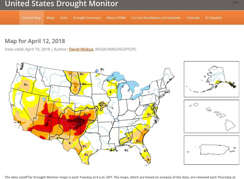
United States Drought Monitor
This interactive map of the United States provides an extensive overview of drought conditions. You can watch animations of drought patterns over different time intervals.
Central Intelligence Agency
Cia: World Factbook: United States
This resource from the CIA World Factbook provides a detailed fact sheet of United States. The content covers the country's geography, people, government, economy, communications, transportation, military, and transnational issues. It...
Houghton Mifflin Harcourt
Holt, Rinehart and Winston: Estados Unidos
Easy-to-read Spanish map of the United States with country information below. A nice site with links to the States and the rest of the world's countries as well!
Other
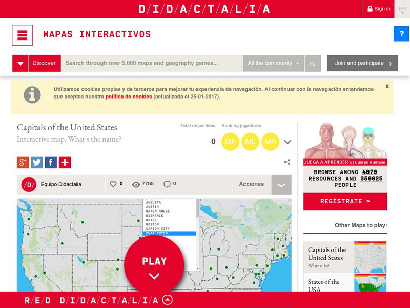
Didactalia: Interactive Map: Capitals of the United States
Interactive map and game to identify capitals of the U.S. states.
ClassFlow
Class Flow: Maps of the United States
[Free Registration/Login Required] This is a collection of physical and political maps of the United States broken up by region.
Other
The Story of the Us Told in 141 Maps
This collection of United States maps includes a year-by-year. Beginning from the Declaration of Independence and extending to present-day, students will learn explore and interact with these maps that change year-by-year.
Kidport
Kidport: United States of America Geography
This site contains a fun way to learn about the states within the United States. Click on the state that you want to learn more about and it provides facts, geographic landmarks, points of interest, major industries, a quiz and more.
Library of Congress
Loc: Maps of Cities and Towns
Looking for old maps of somewhere in the United States? Check out this huge collection of maps! Search by the name of a city or town, another keyword, subject, title, or geographic location.
Digital Public Library of America
Dpla: Secession of the Southern States
This primary source set uses documents, illustrations, and maps to explore events and ideas that drove the formation of the Confederate States of America and the United States' descent into civil war. Includes a teacher's guide.
Library of Congress
World Digital Library: United States History: Map
A collection of primary source materials linked to a map that explore a wide scope of events in the history of the United States from 1492 on. Click on any numbered circle and a popup appears showing one or more thumbnails and where the...
University of Richmond
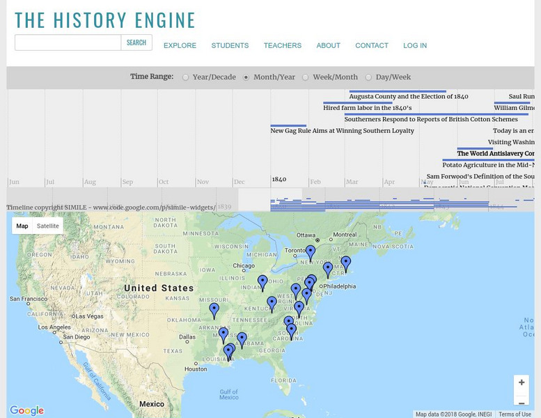
University of Richmond: The History Engine
Explore this in-depth history of the United States beginning in 1840 by clicking on a date or location on this interactive map, or by manipulating the timeline above. Each event is accompanied by a description and details, with links to...


