Hi, what do you want to do?
Other
Ancient Greece
Impressive collection of information and imagery about ancient Greece. Find information and illustrations about ancient Greek architecture, art, history and culture. Includes maps and a timeline.
Greek Gods
Greek Gods: Ancient Greece: Thebes
This site explains where the Ancient Greek city of Thebes, the birthplace of the Greek hero Heracles, was located and provides information about it, a map, and a picture.
Tom Richey
Tom Richey: Ancient Greece: Part Ii: C. 650 350 b.c.
Unit two of ancient Greece focusses on Sparta, women, warfare and the conquest of Alexander the Great. Module includes unit guide, primary source materials, videos and map collection.
Curated OER
Etc: Maps Etc: General Reference Map of Ancient Greece, Circa 500 Bc
A map of ancient Greece showing districts, cities, and waterways.
Greek Gods
Greek Gods: Ancient Greece: Thespiae
This site explains where the Ancient Greek city of Thespiae, the Sanctuary of Eros (God of Love), was located and provides a map and a picture.
Greek Gods
Greek Gods: Ancient Greece: Santorini
This site provides information about the island of Santorini, the Jewel of the Cyclades, including a picture and a map. It is an important tourist destination due to Santorini's volcano.
Greek Gods
Greek Gods: Ancient Greece: Nisyros
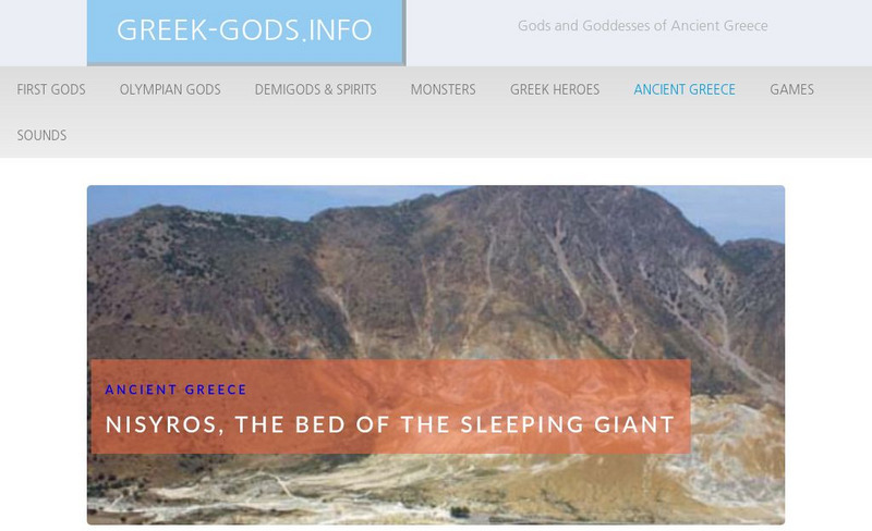
This site provides information about Nisyros, a Greek island known as the "Bed of the Sleeping Giant." It features an island with few active volcanoes where one can walk on its craters. Learn more about Nisyros and locate it on the map.
Greek Gods
Greek Gods: Ancient Greece: Styx
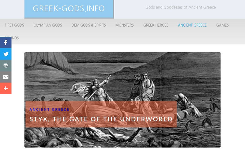
This site provides information about the Ancient Greek River Styx, the Gate of the Underworld, including where it was located, its purposes, a map, and a picture.
J. Paul Getty Trust
J. Paul Getty Museum: Art of the Ancient Greek Theater
Explore an exhibition of art (sculptures and painted vases) that takes Greek drama as its subject shows the many different ways that Greek visual artists interpreted the dramatic arts in their work. Find a click-through slideshow of art...
Curated OER
Educational Technology Clearinghouse: Maps Etc: Ancient Greece, 1600 265 Bce
A map of ancient Greece.
Curated OER
Educational Technology Clearinghouse: Maps Etc: Ancient Greece, 1500 b.c.
A map of Ancient Greece, circa 1500 BC, showing the territories of the Peloponnese peninsula and southern Balkan peninsula, including the southern portions of Macedonia and Epirus. The map shows important cities of the time, rivers,...
Curated OER
Educational Technology Clearinghouse: Maps Etc: Ancient Greece, 1600 265 Bc
A map of ancient Greece, showing the territories of Messenia, Laconia, Elis, Arcadia, Argolis, Achaia, Boeotia, Attica, Acarnania, Atolia, Locris, Doris, Phocis, Euboea, Epirus, Athamania, Thessalia, the southern portions of Illyria,...
University of Calgary
Greek Colonization of the Mediterranean
Interesting map of Greek colonization around 650 B.C. Also includes areas of Etruscan and Phoenician settlements.
University of Oregon
Mapping History: European History
Interactive and animated maps and timelines of historical events and time periods in European history from Greek and Phoenician colonization up to the 20th century.
University of St. Andrews (UK)
University of St. Andrews: Mac Tutor History of Mathematics Archive
The University of St. Andrews, Scotland, presents hundreds of biographies of famous mathematicians, histories of math in various cultures, and interesting facts on the development of important math concepts. This is a huge reference....
United Nations
Unesco: Archaeological Site of Olympia
This World Heritage website features Olympia, the site of the ancient Greek Olympics. Found here are a description, links, a map, documentation, and photos of its many archaeological treasures.
Curated OER
Etc: Reference Map of Greece, 1600 265 Bc
A reference map of ancient Greece showing the Greek political territories of Peloponnese, the southern Balkan Peninsula, islands of the Ionian and Aegean seas, and coastal Asia Minor. A numeric reference key shows the location of the...
National Geographic Kids
National Geographic Kids: Greece
Click-through facts-and-photo file about Greece's geography, nature, history, people and culture, and government. Includes a map of the country that pinpoints its European location and a video about the Parthenon, an ancient temple built...
Other
Bernard Suzanne: Athens Map in Socrates and Plato's Time
This interesting site starts out with a map of the Agora of Acropolis. By clicking on various locations of the map, you are linked to more detailed descriptions. Scroll down below the map for an alphabetical listing of different Greek...
Other
Ancient Maps: Frames of the Greek World
Understanding that perceptions of the Greek world changed over time is important to reading Greek literature. The perceptions of Homer, Hecateus, Eratosthenes, and Ptolemy are presented as map frames at this site. Consider how Homer's...
World History Encyclopedia
World History Encyclopedia: Agrigento
Overview of Agrigento, Greek city-state founded on the south coast of Sicily, and provides information on architecture and life of ancient Greek civilization. Site contains photos, maps and links to further reading.
Tom Richey
Tom Richey: Power Point: Trojan War
PowerPoint presentation with maps, illustration and humor, by teacher Tom Richey on the politics, military and history of the Trojan War.
World History Encyclopedia
World History Encyclopedia: Acropolis
Encyclopedia entry provides and illustrated definition of Acropolis, with photos, maps and diagram of the Athens Acropolis built in the 5th Century BCE.
Curated OER
Etc: Maps Etc: Plan of Ancient Athens, Ancient Athens
A map showing the plan of ancient Athens, according to that given in Barthelemy's Anacharsis. The map shows historic landmarks, including the Parthenon (1), Propylaea (2), Theater of Bacchus (3), Odeum (4), Prytaneum (5), Areopagus (6),...


