Geographypods
Geographypods: Map Skills
A collection of highly engaging learning modules on various topics within mapping skills. Covers map symbols, how to use four- and six-figure grid references, cardinal directions, distance, contour mapping, and drawing cross-sections....
PBS
Pbs Kids Afterschool Adventure!: Operation: Lost and Found Activity Plan
Gorillas, groceries, pirate treasure, and aardvark homes: these are just a few of the things children will search for and find in this week's Afterschool Adventure, Lost and Found. Children will use position words like above, below, and...
Science Education Resource Center at Carleton College
Serc: Mn Step: Student Created Landform Maps With Glacial Emphasis
An activity where students work together to make topographic maps of a local park. The map must include a key and the grid locations of landforms in the park.
ClassFlow
Class Flow: Introduction to Maps
[Free Registration/Login Required] Students are expected to: explain the purpose of a map; identify and use a compass rose; use a grid to locate objects on maps; and use a map key. Activities are hands-on with students manipulating...
Harvard University
Harvard University: Maps and Mapping
This site is provided for by Harvard University. Students follow a map on a scavenger hunt, create a map of their classroom and their town, learn how to read topographic maps, and discover latitude and longitude in these inquiry activities.
Other
University of Akron: Research Challenges Location of 'Tornado Alley'
Geographer Michael Frates redefines the concept of Tornado Alley by using a grid system to map tornado activity in the U.S. Download the Tornado Alley map and locate the other tornado active areas: Hoosier Alley, Dixie Alley and the...
TeachEngineering
Teach Engineering: Nidy Gridy
Normally we find things using landmark navigation. When you move to a new place, it may take you awhile to explore the new streets and buildings, but eventually you recognize enough landmarks and remember where they are in relation to...
US Geological Survey
U.s. Geological Survey: Teaching About and Using Coordinate Systems [Pdf]
Provides lessons and activities for teaching about the different types of coordinate systems including the Cartesian coordinate system, the Geographic Coordinate System, the Universal Transverse Mercator grid, and the State Plane...
City University of New York
Earth and Environmental Sciences: Treasure Hunt
Looking for enrichment? Here's an online treasure hunt requiring skill with directions, distance, contour maps, latitude, and longitude. Also supplementing the activity are interactive quizzes on latitude, longitude, and other related...
Annenberg Foundation
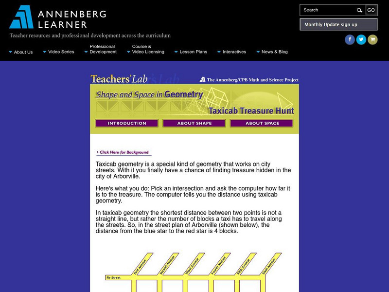
Annenberg Learner: Taxicab Treasure Hunt
Find the treasure hidden at an intersection in the city. Use the clues. Read the instructions then scroll to the bottom and click "hide the treasure".
Alabama Learning Exchange
Alex: Coordinate Geometry
Students will participate in several activities that will build their knowledge of coordinates graphing. Students will use ordered pairs to locate points on a grid. Students will also relate coordinate graphing to the real world through...


