E-learning for Kids
E Learning for Kids: Math: Bus Station: Position on a Map
Help Jamal read maps, describe directions, and identify coordinates in this series of interactive exercises.
Geographypods
Geographypods: Map Skills
A collection of highly engaging learning modules on various topics within mapping skills. Covers map symbols, how to use four- and six-figure grid references, cardinal directions, distance, contour mapping, and drawing cross-sections....
Utah Education Network
Uen: Expanding Map Vocabulary
First graders will be able to name the vocabulary words in Navajo, Ute, and Spanish for the cardinal directions.
National Geographic
National Geographic: Cardinal Directions and Maps
What are the cardinal directions and how are they used? Discover them and practice using them to find places on maps.
TeachEngineering
Teach Engineering: Topos, Compasses, and Triangles, Oh My!
In this activity, students will learn how to actually triangulate using a compass, topographical (topo) map and view of outside landmarks. It is best if a field trip to another location away from school is selected. The location should...
SMART Technologies
Smart: Geography Unit: Maps
This geography unit is designed to follow the 1st Grade geography skills required in Virginia. Students are expected to use cardinal directions, read map keys and understand map symbols, as well as identify our city and capital.
BBC
Bbc: Bitesize Geography: Os Map Skills
A short tutorial on mapping tools and how to read maps. Covers features of maps, symbols, the compass, scale, distance, how height is represented, and grid references. Includes multiple-choice quiz at the end.
E-learning for Kids
E Learning for Kids: Science: Antarctica: What Is Position and Reference Point?
With all the snow and ice in Antarctica, it's easy to get lost. Help Tim find his way using a map and a compass.
Other
Map Zone: Compasses and Directions
Sharpen map skills by exploring these map pages. Learn about the compass rose, different norths, and how to use a compass.
ClassFlow
Class Flow: Introduction to Maps
[Free Registration/Login Required] Students are expected to: explain the purpose of a map; identify and use a compass rose; use a grid to locate objects on maps; and use a map key. Activities are hands-on with students manipulating...
Utah Education Network
Uen: Lesson Plan: Map Trap
Lesson to reinforce maps skills and concepts. Students map locations around their school and use world maps to locate major landmarks.
TeachEngineering
Teach Engineering: Classroom Triangles
In this activity, students will use bearing measurements to triangulate and determine objects' locations. Working in teams of two or three, students must put on their investigative hats as they take bearing measurements to specified...
ClassFlow
Class Flow: Maps Globe Skills
[Free Registration/Login Required] This flipchart discusses landforms, mapping and the Compass Rose. Students can practice using Cardinal Directions and use Activotes.
E-learning for Kids
E Learning for Kids: Math: Group of Pyramids: Capacity and Position
On this interactive website students practice various math skills using a real life scenario at the pyramids. Those skills include comparing capacity of three or more containers, using compass directions to describe locations, and using...
ClassFlow
Class Flow: Maps and Globes
[Free Registration/Login Required] This flipchart reviews map and globe features. The seven continents, four oceans, and city-county-state-country relationships are also explained. Student assessment on directions is included.
US Mint
United States Mint: In Mr. Lincoln's Shoes [Pdf]
Using the study of President Abraham Lincoln as a guide, students demonstrate basic map skills including cardinal directions and how to use a compass rose.
TeachEngineering
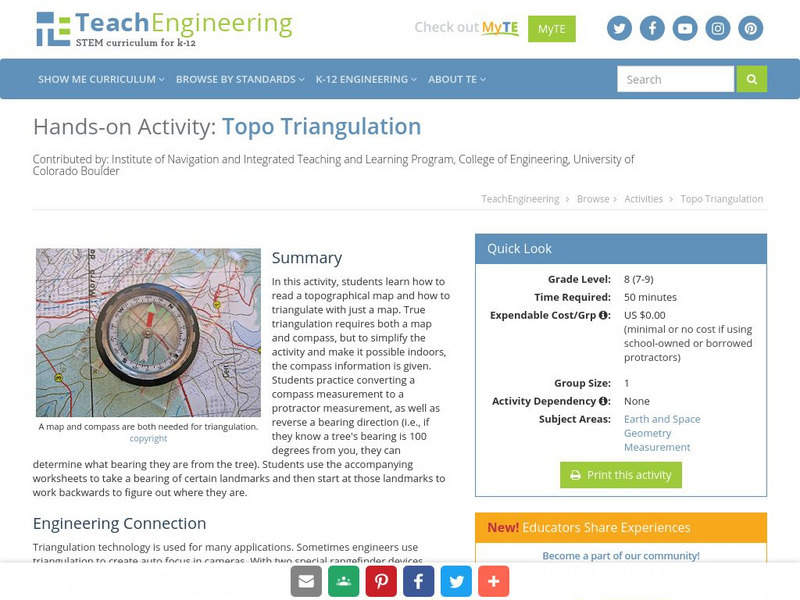
Teach Engineering: Topo Triangulation
In this activity, students will learn how to read a topographical map and how to triangulate with just a map. True triangulation requires both a map and compass, but to simplify the activity and make it possible indoors, the compass...
Science Buddies
Science Buddies: Are We There Yet? Test How Migratory Birds Navigate
How do you figure out how to get places? Do you ask for directions, look at a map, or consult a compass? There are many ways for people to figure out how to travel from one place to another, but how do other animals do it? In this...
TeachEngineering
Teach Engineering: Plot Your Course Navigation
In this unit, students learn the very basics of navigation, including the different kinds of navigation and their purpose. The concepts of relative and absolute location, latitude, longitude and cardinal directions are discussed, as well...
PBS
Pbs Learning Media: Let's Learn
This collection of resources for children ages 3-8 are drawn from the public television series Let's Learn, a partnership between the WNET Group and the New York City Department of Education. Let's Learn aims to provide our young...
TeachEngineering
Teach Engineering: Where Is Here?
In this lesson, young scholars are shown the very basics of navigation. The concepts of relative and absolute location, latitude, longitude and cardinal directions are discussed, as well as the use and principles of a map and compass.
E-learning for Kids
E Learning for Kids: Science: Antarctica: Penguins: What Is Motion?
What do you know about Emperor penguins? Ernie is researching them and their migration across the continent.
