Other
Reading Quest: Making Sense of Social Studies
Teaching students to read well in areas other than language arts requires teaching and reinforcing the kinds of reading strategies taught here. There are 27 strategies, ranging from brainstorming to word mapping. The site includes PDF...
Other
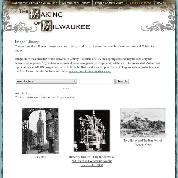
Milwaukee Public Television: The Making of Milwaukee: Historical Images
This is a library of historical images and photos of Milwaukee. The pictures are organized by category and include one for 'Lesson Activity Images'. There are also numerous historical maps.
Library of Congress
Loc: Local History: Mapping My Spot
Students often think of history as tattered documents, worn photographs, and musty books, all of which have little or no relevance to their lives. Maps provide an often-overlooked source of information and a new and compelling...
Smithsonian Institution
National Museum of Natural History: Global Volcanism Program: This Dynamic Planet
Interactive activity that allows the learner to make their own regional map using layers of their choice such as volcanoes, craters, plate tectonics, or earthquakes. This map of the Earth zooms in and out, highlights essential processes,...
Virginia History Series
Virginia History Series: Virginia State History Reconstruction to 1900 [Pdf]
Much of Virginia was devastated after the Civil War so a period of rebuilding commenced. Follow Reconstruction through the different plans, the effects on African-Americans and the South. This slideshow has pictures,charts, and maps to...
Science Education Resource Center at Carleton College
Serc: Investigating the Geologic History of Southeast Minnesota
This activity is an inquiry-based, earth science field investigation of the geology of southeast Minnesota. Students will make observations of rock outcrops and landforms in the region using maps, pictures, and field sampling, then use...
Annenberg Foundation
Annenberg Learner: America's History in the Making: Mapping Initial Encounters
Columbus' arrival laid the basis for encounters between Europeans, Native Americans, and Africans. This unit examines how these contacts altered the way of life of peoples around the globe.
George Mason University
George Mason University: World History Sources: Maps
Learn about the history of maps, what makes a map a map, and why bother with maps. Get answers to many different map questions and much more.
Smithsonian Institution
National Museum of American History: West Point in the Making of America
Online part of a Smithsonian exhibit to honor the 200th anniversary of West Point, the site includes history, interactive maps, historical documents and artifacts.
University of Oregon
Mapping History: Late Aegean Bronze Age
A key makes this map useful for locating cities and palaces of the Late Aegean Bronze Age (1250-1000 BC) and for understanding the extent of Mycenaean culture.
Curated OER
History Matters: Making Sense of Documents
Designed to help teachers and students make effective use of primary documents. There are well written section on how to make sense of numbers, ads, music, diaries, and more. included are interactive activities for students to help them...
Annenberg Foundation
Annenberg Learner: America's History in the Making: Colonial Designs [Pdf]
Scroll down through this unit for teacher facilitators to Appendix E and F to find maps of colonial settlement in eastern North America in 1600 and 1660. From Oregon Public Broadcasting.
Pennsylvania Historical and Museum Comission
Explore Pa History: Making Steel
Examine the historical and economic impact of the Pennsylvania's steel industry. Included in this historical account are video, maps, and pictorial artifacts of this era.
Other
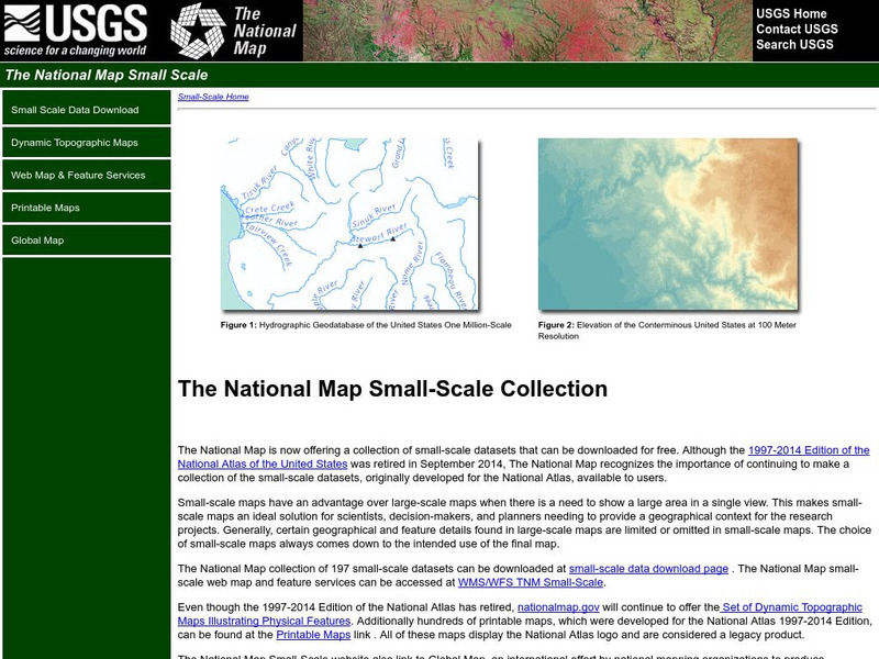
National Atlas
This site is excellent for mapping. You can create ANY kind of map you need. Select all kinds of layers: agriculture, biology, boundaries, climate, history, and more, and then select the geography. It does take some time to figure out...
Other
In Pursuit of Freedom & Equality: Brown v. Board of Education of Topeka
Teachers and students can find a comprehensive summary of the Brown v. Board of Education of Topeka case. Learn about the myths and find out the truth. The activities offered are especially meaningful. Students can perform a...
Other
Illinois State Museum: At Home in the Heartland Online
Exhibit about family life in Illinois from 1700 to the present lets visitors experience the kinds of changes that an environment can undergo over several hundred years. Uses historical narratives, images of objects, timelines, maps, and...
Other
Do History: Martha Ballard's Diary Online
This site invites viewers "to piece together the life and world of an "ordinary" person from the past." The site boasts thousands of original documents that include diaries, maps, letters, and court records of a midwife from...
Curated OER
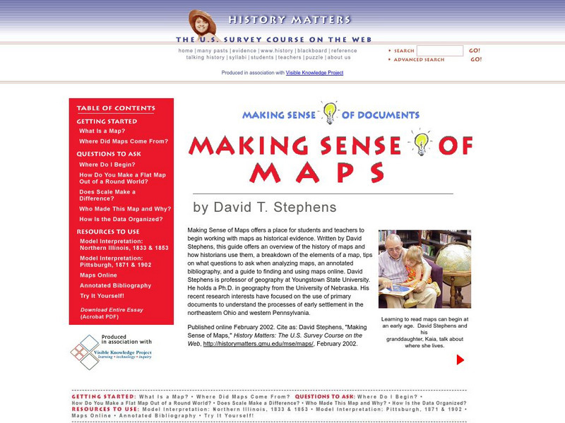
History Matters: Making Sense of Maps
Very detailed site from History Matters containing an explanation of how to read maps and understand them. An excellent resource for teachers. The site covers how to begin, how to use a scale, how to create a flat map for a round world,...
Other
The Dalton School: Map of Trade Routes
This site is simply a map illustrating the trade routes in the First Century AD. Different colors depict the great empires of the time, making it easy to interpret.
Pamela Seed
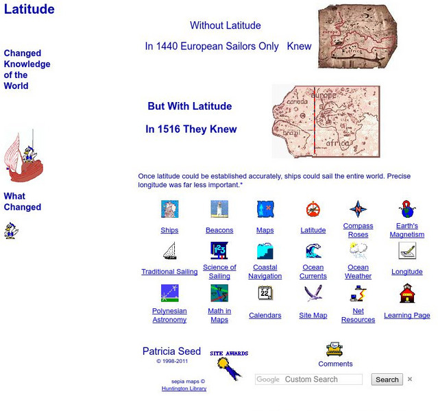
Rice: Latitude: The Art and Science of 15th Century Navigation
This is a great site to read about how navigation began in Europe and what tools were used. Make sure to read the segments on coastal navigation, maps, and ocean currents.
Better Lesson
Better Lesson: Comparing and Contrasting With "Then and Now"
This lesson plan is a great small group reading lesson plan that has a social studies connection. In this lesson plan, students will be comparing and contrasting schools from long ago and schools of today using informational texts....
National Library of France
National Library of France: Heaven and Earth
Learn how art through the ages has been influenced by the Earth and the heavens. See paintings that attempted to explain the Earth's creation from a scientific standpoint, sacred architecture that provided a place to worship the heavens,...
NASA
Nasa: Hurricanes
Learn about hurricanes and how they are created. Features include video animation, the histories of the most devastating hurricanes and topics such as hurricane naming and hurricane study.
Texas State Historical Association
Texas State Historical Association: Notable Earthquakes Shake Texas [Pdf]
An activity guide where students refer to the Texas Almanac, which is free to download, for information needed to complete assigned tasks. In this instructional activity, they research earthquakes that have taken place in Texas, and the...
