PBS
Pbs: Journey to Planet Earth: Rivers of Destiny
Journey to four major river systems - the Mississippi, Amazon, Jordan and Mekong rivers - and take a look at the challenges happening to the people whose livelihood hinges around them.
University of Illinois
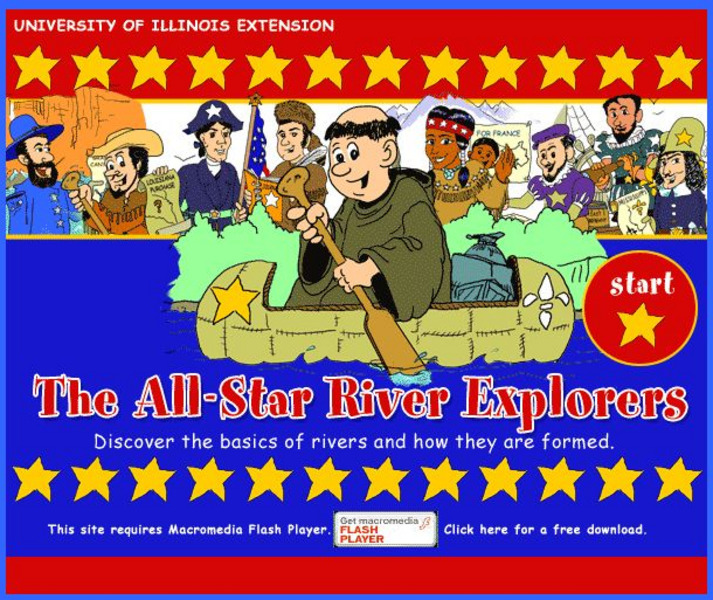
University of Illinois Extension: All Star River Explorers
An interactive site to teach students how rivers are formed, how they change, and why they are important. Cross-curricular activities in language arts, math, science, social studies, and art, some of which include worksheets to download,...
Texas State Historical Association
Texas State Historical Association: Texas Rivers Map [Pdf]
A blank outline map showing the major rivers of Texas. A full color, labeled map of these rivers is available in the Texas Almanac, which is free to download from the main website.
World Geography Games
World Geography Games: Rivers
Explore the major rivers of the world through this interactive quiz.
Enchanted Learning
Enchanted Learning: Major Rivers of Texas
This is a very brief site that offers a map with the major rivers of Texas.
Country Studies US
Country Studies: Cambodia: Rivers
Read this discussion of the rivers in Cambodia from this Country Studies report. Find out sources and mouths of the major rivers.
Other
Saguenay River: Essence of French Quebec
The Saguenay River has had a fascinating past as well as having a major role to play in the province of Quebec today.
ClassFlow
Class Flow: Major Topographical Features of the u.s.
[Free Registration/Login Required] In this flipchart students will locate major topographical features of the United States of America. Website links covering Identify rivers, mountain ranges, the equator, prime meridian, and lines of...
Siteseen
Siteseen: Civil Conflict: Battle of Stones River (Murfreesboro): Civil War for Kids
Article summarizing and outlining major events at the Battle of Stones River during the Civil War. Includes Fun Facts, video [3:00] on Abraham Lincoln and informational text.
National Geographic
National Geographic: Mapping u.s. Watersheds
Students will identify and explore major rivers and watersheds in the United States.
National Geographic
National Geographic: Mapping the World's Watersheds
In this lesson, students use a world map to locate and label major rivers and their watersheds. They then compare watershed shapes and look at typographical features that determine their shapes. A vocabulary list with definitions is...
Ducksters
Ducksters: United States Geography: Rivers
Kids learn about the major rivers of the United States including the Mississippi, Missouri, Rio Grande, Colorado, and the Hudson. Geography of the US.
Open Library of the Internet Archive
Open Library: The Bears of Blue River
This ebook version of Charles Major's "The Bears Of Blue River" has been made available in multiple formats by the Open Library. Editions of the full novel, organized by year of publication, may be accessed here.
University of North Carolina
The Ecology of the Cape Fear River System
The Cape Fear Estuary drains the largest watershed in North Carolina, containing 27% of the State's population. The Cape Fear River itself (about 320 km or 200 miles in length) is formed in the Piedmont by the confluence of the Haw and...
War Times Journal
War Times Journal: Ia Drang River Valley Battle Maps
Three animated battle maps on the famous three-day battle fought between the US Army and the North Vietnamese Army in November 1965. This battle represented the first major encounter between the two combatants.
Other
New World Encyclopedia: Missouri River
The history of the Missouri River is discussed in detail. Its location, physical characteristics, and major tributaries are covered.
Ohio Department of Natural Resources
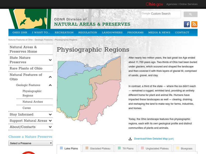
Ohio's Five Physiographic Regions
Gives characteristics and history of Ohio's different regions. Map included. Very detailed descriptions of rivers and nature perserves in the State.
Enchanted Learning
Enchanted Learning: Kentucky
This site is an organized list of information about the state of Kentucky. The list includes things like the state's nickname, major rivers, symbols, flag, and lots more.
United Nations
United Nations: Cartographic Section: Central Asia [Pdf]
The countries of central Asia are shown on this map from the United Nations. It also shows the major rivers and cities.
United Nations
United Nations: Cartographic Section: Southeast Asia [Pdf]
This map from the United Nations shows the countries of Southeast Asia. Major rivers are labeled, as are cities.
Curated OER
University of Texas: Afghanistan: Relief Map
A relief map of Afghanistan from the Perry-Castaneda Collection showing how truly mountainous much of Afghanistan is. You can also trace the borders of the provinces and follow the major rivers.
US Geological Survey
Usgs: Edna Derived Watersheds for Major Named Rivers
A watershed index where students can click on a map of the U.S. to find the names and locations of watersheds. Students can also download a file that can be run in Google Earth to view more about the watershed.
Curated OER
University of Texas: Bangladesh: Relief Map
Click on this relief map of Bangladesh to get a close up look of the major rivers that flow across this flat country and form the mouths of the Ganges. From the Perry Castaneda Collection.
PBS
Pbs: American Experience: Fatal Flood
This resource is a companion site to a documentary about a major flooding of the Mississippi River in 1927, where in Greenville, Mississippi, efforts to contain the river pitted the majority black population against an aristocratic...
Other popular searches
- Geography Major Rivers
- Major Rivers in Tennessee
- World Major Rivers
- Major Rivers in Arkansas
- Major Rivers in Us
- Major Rivers u.s.
- Major Rivers in World
- Major Rivers United States
- Major Rivers United Statea
- Major Rivers Us
- Major Rivers United Stat Ea
- Major Rivers Texas Map


![Texas State Historical Association: Texas Rivers Map [Pdf] Graphic Texas State Historical Association: Texas Rivers Map [Pdf] Graphic](https://static.lp.lexp.cloud/images/attachment_defaults/resource/large/FPO-knovation.png)


![United Nations: Cartographic Section: Central Asia [Pdf] Graphic United Nations: Cartographic Section: Central Asia [Pdf] Graphic](http://lessonplanet.com/content/resources/thumbnails/457764/large/bwluav9tywdpy2symdi1mdqyoc04mzc3ndeta3hlc25wlmpwzw.jpg?1745828800)

