United Nations
United Nations: Cartographic Section: Great Lakes Region (Map 2) [Pdf]
This map of the Great Lakes region in Africa from the United Nations shows the large lakes, the countries the lakes touch, and rivers that flow into and out of the lakes.
United Nations
United Nations: Cartographic Section: Great Lakes Region (Map 1) [Pdf]
The United Nations offers this very clear map of part of the Great Lakes region in eastern Africa. The lakes, of course, are labeled, as are the rivers, major cities, and countries.
Other
Native Peoples of the Great Lakes Region
The Iroquois and Five Nations dominated the Great Lakes and forced other nations out.
Other
Glin: Habitats of the Great Lakes Region
This site profiles the elements of the Great Lakes' ecosystems and habitats.
Other
Environment Canada: Native Peoples Great Lakes Region
This site provides information on the Indians that inhabited the Great Lakes Region upon settlement by Europeans.
University of Wisconsin
University of Wisconsin: Paradise Lost?: Teaching Climate Change in the Great Lakes Region
This website is designed as a resource for high school and middle school teachers on the topic of climate change. The emphasis of this site is on providing hands-on activities. Includes activities that involve language arts, social...
PBS
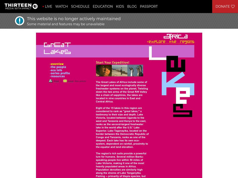
Wnet: Thirteen: Africa: Explore the Regions: Great Lakes
Explore the diverse and unique African Region of the Great Lakes. Within this region, you will learn about the countries, people, and economy. Uncover the beauty and diversity of this incredible region.
Other
Glfc: Sea Lamprey Control in the Great Lakes: A Remarkable Success!
Good article from the Great Lakes Fishery Commission about the ongoing battle with the sea lamprey, an invasive species, in the Great Lakes Region of the U.S.
TED Talks
Ted: Ted Ed: What's So Great About the Great Lakes?
The North American Great Lakes- Huron, Ontario, Michigan, Erie, and Superior- are so big that they border 8 states and contain 23 quadrillion liters of water. They span forest, grassland, and wetland habitats, supporting a region that's...
University of Michigan
University of Michigan: The Great Lakes: An Environmental History [Pdf]
The University of Michigan provides a PowerPoint presentation on the environmental history of the Great Lakes. Provides aerial shots of the Great Lakes from a satellite, various geographical maps over the Great Lake Region, and pictures...
Curated OER
Educational Technology Clearinghouse: Maps Etc: Great Lakes Region, 1906
A map from 1906 of the Great Lakes Region, showing major cities and ports, canals (including the Erie Canal), rivers, and steamship routes across the lakes, including routes of the St. Lawrence and Lake Champlain.
Other
Milwaukee Public Museum: Indian Country: Oral Tradition
The Milwaukee Public Museum provides this introduction to the Native American oral tradition and oral literature of the Great Lakes region. Describes common themes and characters, including trickster characters and windingo (ice...
Cleveland State University
Cleveland State University: Iron
A history of the iron ore industry with a focus on the Great Lakes Region. Well written and interesting.
Other
Great Lakes Information Network: Economy
This site consists of economic information about various midwestern states and industries. Site can be used for students to conduct research. Various aspects about the midwestern economy are included.
Read Works
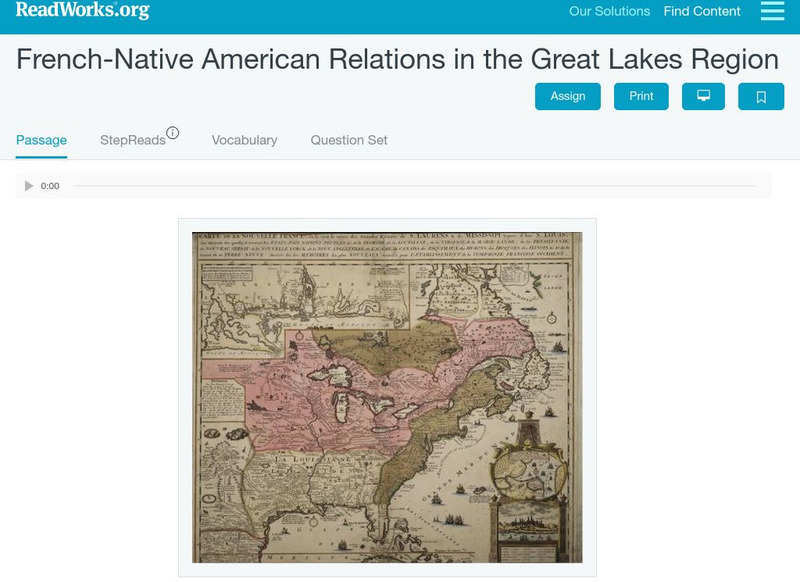
Read Works: French Native American Relations in the Great Lakes Region
[Free Registration/Login Required] This historical passage discusses the relations between the French and Native Americans in the Great Lakes Regions during the 1700's and 1800's. This passage is a stand-alone curricular piece that...
Curated OER
Map of Great Lakes Tribes. Click for Larger Image.
This site provides information on the Indians that inhabited the Great Lakes Region upon settlement by Europeans.
Curated OER
Etc: Maps Etc: Automobile Routes of the Great Lake Vicinity, 1920
A map from the 1920 Automobile Club of Rochester showing automobile routes in the Great Lakes Region, around western Lake Ontario, and the Canadian portion of Lake St. Clair and southern Lake Huron. The map shows route numbers, mileages...
Curated OER
Educational Technology Clearinghouse: Maps Etc: The Great Lakes, 1812
A map of the Great Lakes region at the outbreak of the War of 1812, showing the sites of initial English successes, including Fort Mackinaw, Fort Dearborn (Chicago), and Detroit, which was surrendered to the English by General Hull.
Digital Public Library of America
Dpla: Two Hundred Years on the Erie Canal
Learn about the Erie Canal, one of the most famous man-made bodies of water in the world. Completed in 1825, the Erie Canal connected the port of New York City on the Atlantic Ocean with the Great Lakes transforming trade, industry, and...
Siteseen
Siteseen: American Historama: Rush Bagot Treaty
Details about the Rush-Bagot Treaty that demilitarized the Great Lakes region.
NOAA
Noaa: Freshwater
This site is designed to assist the educator in teaching concepts and processes related to freshwater environments and to increase stewardship of these important resources. There are links to resources regarding the Great Lakes...
Annenberg Foundation
Annenberg Learner: American Passages: Native Voices, Chippewa Songs
Study the great oral tradition of the Chippewa Tribe in the Great Lakes regions through their music collected by Frances Densmore. For classroom activities and lesson enhancements click on the link, "Chippewa Songs Activities."
Other
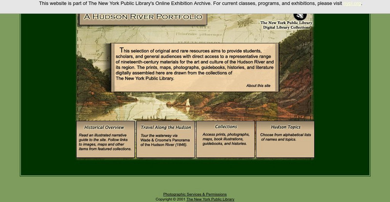
New York Public Library: A Hudson River Portfolio
Learn about the Hudson River and the role it played in the westward and northward expansion of America (to the Great Lakes regions and to Canada) in the nineteenth century. Useful for understanding the importance of rivers as means of...
University of Regina (Canada)
University of Regina: Math Central: Map of First Nations Peoples Pre Contact Culture Areas
A color coded map of North America which contains the regions inhabited by different aboriginal nations.
![United Nations: Cartographic Section: Great Lakes Region (Map 2) [Pdf] Graphic United Nations: Cartographic Section: Great Lakes Region (Map 2) [Pdf] Graphic](https://static.lp.lexp.cloud/images/attachment_defaults/resource/large/FPO-knovation.png)


