Hi, what do you want to do?
Climate Literacy
Clean: Investigating Weather and Climate With Google Earth
In this activity, students will investigate the change in global temperature by analyzing data on Google Earth for 13 different cities. Students will then interpret the climate patterns for those cities to make conclusion about the...
Climate Literacy
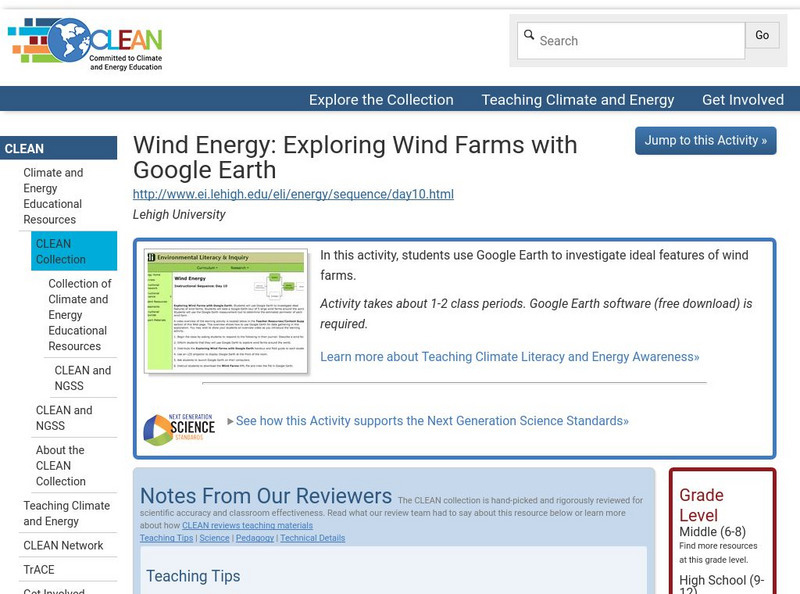
Clean: Wind Energy Using Google Earth
In this activity students will use Google Earth to investigate ideal features of wind farms and they will use the Google Earth measurement tool to determine the estimated perimeter of each wind farm.
Alabama Learning Exchange
Alex: Jet, Set, Go! Travel Google Earth in Ben's Dream
This lesson uses the picture book by Chris Van Allsburg Ben's Dream with Google Earth to highlight ten major landmarks of the world. After reading and discussing Ben's Dream, young scholars "travel" to each location using the free...
Climate Literacy
Clean: State Electricity on Google Earth: How Many Solar Panels Would It Take?
This activity addresses the Energy Awareness Principle by having students calculate electricity use by state, and also determine how much land would be required to replace all sources of electricity with solar panels considering costs...
Alabama Learning Exchange
Alex: Run Around the World
Lesson where young scholars utilize Google Maps and Google Earth to create a three mile running course from their houses, addressing any safety concerns that arise (large intersections, availability of sidewalks, etc.). Detailed...
Google
Cs Education at Google: Cs First: Create Your Own Google Logo
A set of three activities where students learn how to use the programming language Scratch to create Google logos, including ones for Valentine's Day and one for Earth Day.
TeachEngineering
Teach Engineering: Projections and Coordinates: Turning a 3 D Earth Into Flatlands
Projections and coordinates are key advancements in the geographic sciences that allow us to better understand the nature of the Earth and how to describe location. These innovations in describing the Earth are the basis for everything...
Alabama Learning Exchange
Alex: Tech Tours Using Google Earth
Grab your passport and head around the world as K-2 students become reporters using Google Earth and podcasting to learn and share about maps, globes, people and places around the community, state and world. Tools featured include:...
Google
Google for Education: Applying Discrete and Continuous Data in a Map
Using various tools, student will be able to analyze and calculate the amount of urban open space available in their city.
Curated OER
Google for Education: Children and Technology: Google Sketch Up
Using Google SketchUp build a house or upgrade your school building to be the tallest and the most colorful in the world! Then place your buildings on Google Earth and fly over them with Google Earth to see what they look like.
Science Education Resource Center at Carleton College
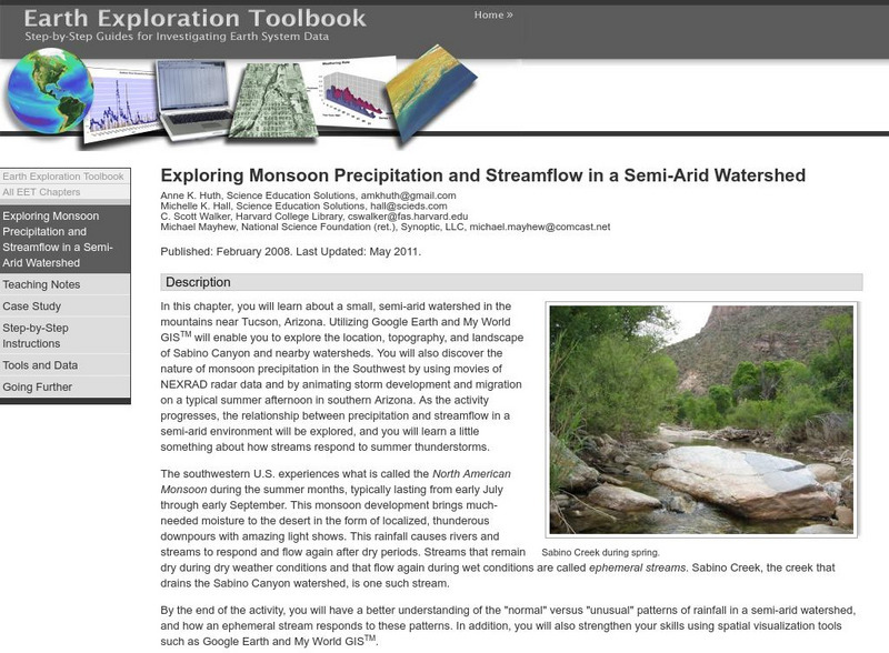
Serc: Exploring Monsoon Precipitation and Streamflow in a Semi Arid Watershed
Learners use both My World GISTM and Google Earth maps to investigate streamflow and precipitation relationships in the vicinity of Tucson, AZ.
Science Education Resource Center at Carleton College
Serc: Exploring Air Quality in Aura No2 Data
This activity illustrates how data can be imported into Google Earth for visualization and interpretation. Students are introduced to air quality as it relates to population density and topography.
Science Education Resource Center at Carleton College
Serc: Lab 2: What's a Watershed?
Students build a physical model to simulate watershed features, then use Google Earth software to tie the model to a real place. By exploring several layers of map-based images and data, students learn the complexity of a watershed and...
Science Education Resource Center at Carleton College
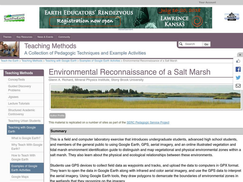
Serc: Environmental Reconnaissance of a Salt Marsh
A field and computer laboratory exercise that introduces students to using Google Earth, GPS, aerial imagery, and an online illustrated vegetation and tidal marsh environment identification guide. Students are challenged to distinguish...
Nature Conservancy
The Nature Conservancy: Introduction to Sustainable Forestry
In this lesson plan students use an interactive with Google Earth to identify forests that have been logged selectively with those that have not. For an outdoor activity students create acomprehensive list of all the tree species in...
Nature Conservancy
The Nature Conservancy: Introduction to Sustainable Forestry
In this lesson, students interact with Google Earth to identify forests that have been logged selectively versus those that have not. They also learn how to distinguish the appearance of forestry methods in satellite images.
US National Archives
Docsteach: Immigration to America: Stories and Travels
This activity asks learners to match documents to individuals based on the reasons these people came to and were living in the United States. The photographs and documents are attached to government forms in some of the millions of...
Science Education Resource Center at Carleton College
Serc: A Reader's Guide to Climate Change
In this activity from the Deep Earth Academy, students divide into groups to read and discuss one of nine short articles (1-2 pages) about research done by the Ocean Drilling Program. These articles discuss our understanding about past...
Science Education Resource Center at Carleton College
Serc: Litter Retriever With a Gps Receiver
Have you ever wondered why litter is in some locations and not others? You will use a Global Positioning System (GPS) to mark the locations of trash and trash cans around a local park or school campus, import the data into Google Earth,...
Other
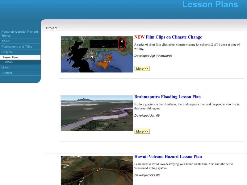
Personal Website: Richard Treves: Lesson Plans
Study climate change with Google Earth, explore glaciers in the Himalayas, and learn how to avoid lava destroying a home in Hawaii with these three expert-developed lesson plans.
Science Education Resource Center at Carleton College
Serc: Arctic Climate Curriculum, Activity 1: Exploring the Arctic
This activity introduces students to the Arctic, including different definitions of the Arctic and exploration of the Arctic environment and Arctic people. Students set out on a virtual exploration of the geography of the Arctic using...
Sophia Learning
Sophia: Urban Models in the Real World
By using Google Earth and city road maps, learners will compare the layout of their city to one of the three North American urban models and see which one is the best fit.
Common Sense Media
Common Sense Media: Wondering About Landforms in Asia
Following a guided observation through Google Earth of a landform in Asia, students will be able to form questions that reflect what they have observed and what they want to know about that landform.
Other
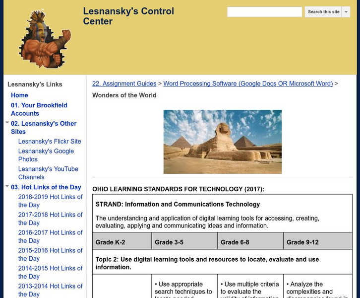
Lesnansky's Control Center: Word Processing Software: Wonders of the World
In this instructional activity, young scholars watch a video about the Wonders of the World then research one of the Wonders and create a Microsoft Word document that details the story.
Other popular searches
- Google Earth Landforms
- Google Earth Scavenger Hunt
- Google Earth North Pole
- Google Earth Game
- Social Studies Google Earth
- Geography Google Earth
- Google Earth Lesson Plans
- Google Earth and Regions
- Google Earth Geology
- Google Earth Journalism
- Google Earth Glaciation
- Google Earth Ratings=3


