Hi, what do you want to do?
University of Calgary
European Voyages of Exploration: 15th & 16th Centuries
This award-winning website from the University of Calgary's History Department is both impressive and extensive. It focuses on Portuguese and Spanish expeditions of the 15th and 16th centuries (the sitemap provides a good outline of...
University of California
Uc Santa Barbara: What Brought the Europeans to America?
Short essay addresses reasons that brought the Europeans to America. Covering many important points, he also provides compelling reasons and a map.
University of Calgary
European Voyages of Exploration: Geography and Cartography
This site provides information on mapmaking and cartograohy of the early explorers. Includes pictures of maps.
Annenberg Foundation
Annenberg Learner: American Passages: Exploring Borderlands:christopher Columbus
This passage features explorer Christopher Columbus as an author documenting his travels and experiences through letters and such. Click on "Christopher Columbus Activities" for related artifacts and activities.
Princeton University
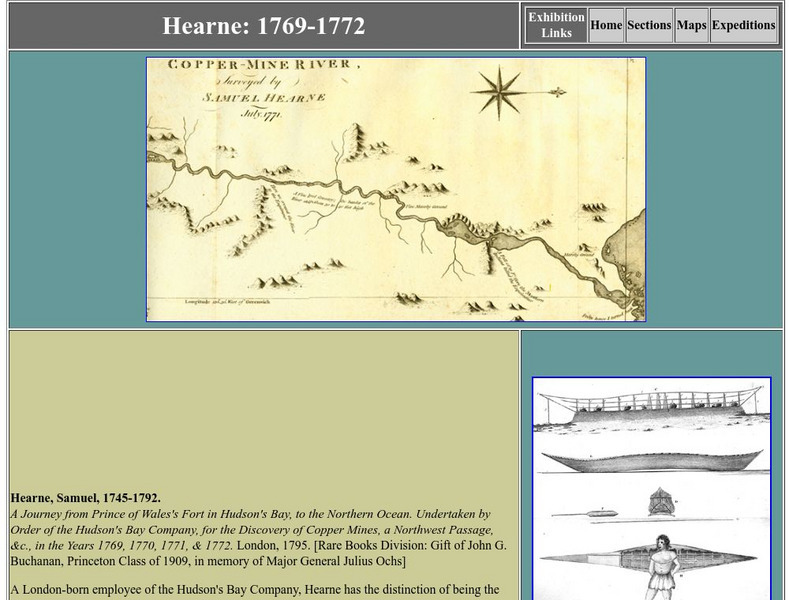
Princeton University Library: Exhibition: Of Maps and Men: Samuel Hearne
Entry about eighteenth-century explorer Samuel Hearne, from a larger exhibition about the search for a passage to the Orient through Canada. Hearne is credited with surveying the Coppermine River and with being the first European to view...
Princeton University
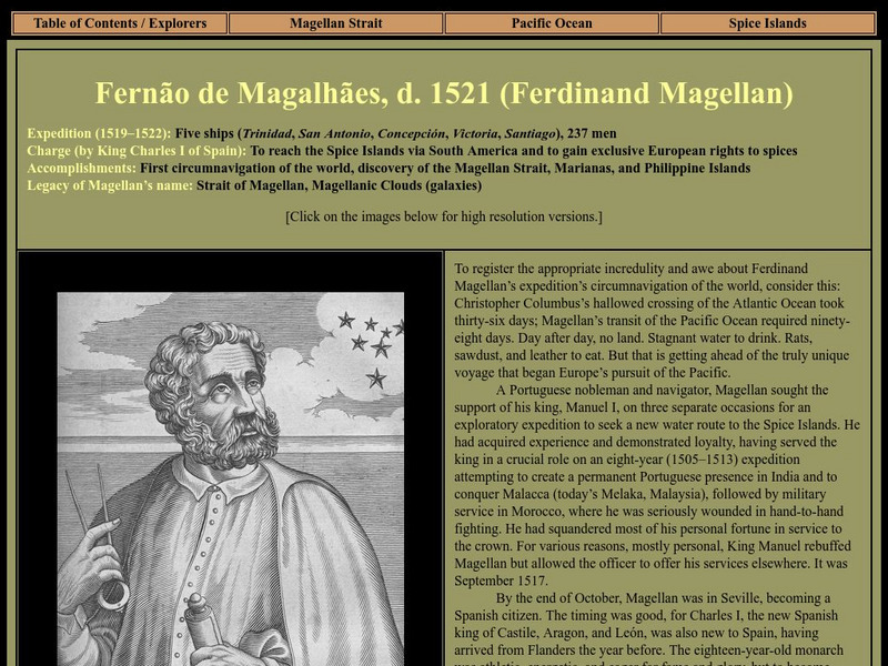
Strait Through: Magellan to Cook & the Pacific: Ferdinand Magellan
An interesting site that recounts Ferdinand Magellan's voyage and his goal of circumnavigating the globe. Included are portraits, drawings, and maps from the Princeton University Library.
Library of Congress
Loc: Discovery and Exploration
This American Memory site documents the discovery and exploration of the Americas with both manuscripts and published maps, many of which date from the European Age of Discovery. The site includes 22 map titles and descriptions, as well...
Other
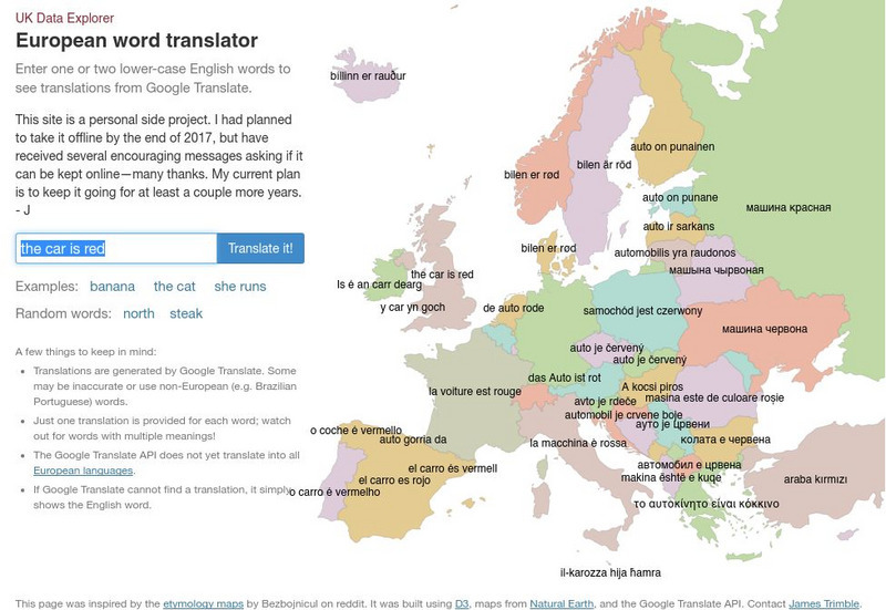
Uk Data Explorer: European Word Translator
Enter one or two lower-case English words to see translations from Google Translate. The translations are superimposed onto the related countries in a map of Europe.
Curated OER
Etc: Maps Etc: Africa Before the Berlin Conference, 1884
This is an interesting map of Africa showing the continent before the Berlin Conference of 1885, when the most powerful countries in Europe at the time convened to make their territorial claims on Africa and establish their colonial...
Curated OER
Educational Technology Clearinghouse: Maps Etc: Pre Colonial Africa, 1858
Map of Africa in 1858, prior to the extensive European colonization of the continent established at the Berlin Conference of 1885. This map shows the European possessions of the Cape Colony, Natal, and Orange River Free State, and the...
Khan Academy
Khan Academy: French and Dutch Exploration in the New World
An overview of the French, Dutch, and English explorers in the late 1500's and early 1600's.
Enchanted Learning
Enchanted Learning: Marco Polo
A brief account of the voyages and travels undertaken by Marco Polo who was one of the first Europeans to travel from Italy across Asia to China.
Curated OER
Etc: Early Explorers of the Atlantic Coast, 1492 1620
A map of the Atlantic coast of North America from the Labrador Peninsula and Gulf of St. Lawrence south to the Santee River in the Carolinas, showing the European explorations and settlements in the region between 1492 and 1620. The map...
Curated OER
Etc: Maps Etc: Egypt, Abyssinia, Et Cetera, 1904
"Egypt is another of those countries whose prehistoric ages are wrapped in mystery as impenetrable as the sources of her Nile, whose exact location ling baffled the most enterprising of explorers. Great interest attaches to the country's...
British Library
British Library:northwest Passage: Early Approaches, a Historical Account
Read about the early attempts to find a way through the Northwest Passage. Included are portraits and early maps of the explorers.
EL Education
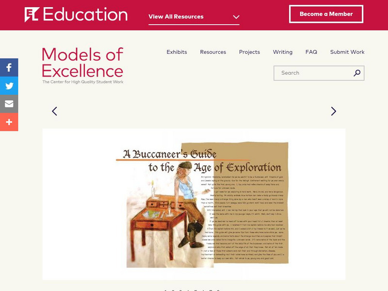
El Education: A Buccaneer's Guide to the Age of Exploration
A Buccaneer's Guide to the Age of Exploration depicts European world-wide exploration and exploitation through a collage-style book of text, hand-drawn and water-colored illustrations, maps, timelines, and diagrams. The book chronicles...
Curated OER
Etc: Early Voyages of Spaniards in the West Indies, 1512 1580
A map of the Gulf of Mexico and Caribbean showing the voyage routes of the early European explorers in the region between 1512 and 1580. The map shows the routes of Alonzo de Ojeda to Darien Colombia, Balboa to the Pacific, Juan Ponce de...
National Humanities Center
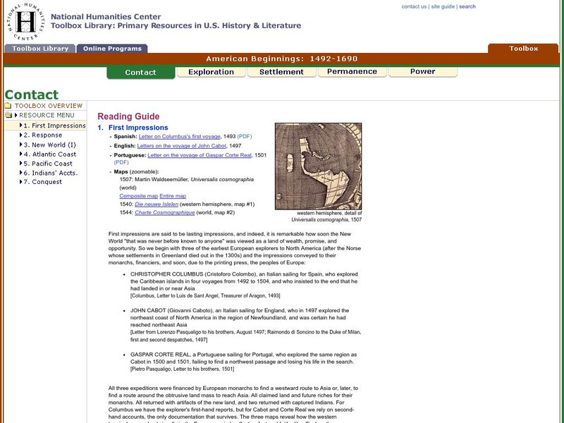
National Humanities Center: Toolbox Library: Contact: First Impressions
English, Spanish, and Portuguese maps and letters of about the voyages of Christopher Columbus, John Cabot, and Portuguese explorer, Gaspar Corte Real, which describe impressions of the lands explored.
National Humanities Center
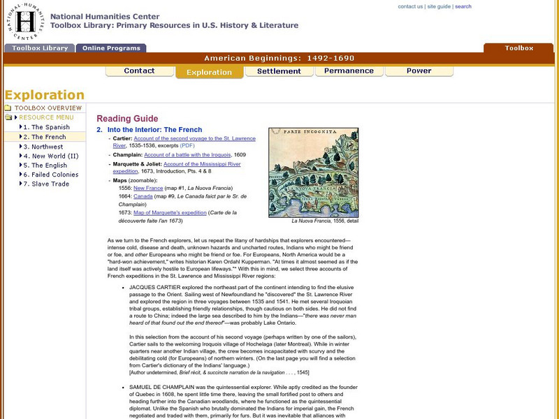
National Humanities Center: Toolbox Library: The French, American Beginnings: 1492 1690
Three maps reflecting French exploration along rivers in North America and three French explorers' accounts of the astonishing hardships they endured and the possibilities for trade with natives they opened.
Houghton Mifflin Harcourt
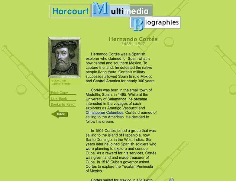
Harcourt: Biographies: Hernando Cortes 1485 1547
Furnished is a brief summary of the life and explorations of Spanish explorer, Hernando Cortes. Take a look at the photos and maps of his journey of what today is called Mexico.
British Library
British Library: Discovering Literature: Travel, Trade and Exploration in the Middle Ages
Medieval Europeans were fascinated by the lands that lay beyond their own continent. This article looks at the real and imaginary travels of explorers and tradesmen through works including The Book of John Mandeville, The Travels of...
National Humanities Center
National Humanities Center: Toolbox Library: Rivalry Ii, American Beginnings: 1492 1690
Two eighteenth-century maps and four accounts of the mutual perceptions, suspicions, and observations between Spanish and French explorers on the Gulf Coast.
Curated OER
Etc: Dev of Colonies and Early Western Explorations, 1700 1775
A map of eastern North America showing the early development of the European colonies and westward exploration to the Mississippi River. The map shows the routes of several early explorers with dates of exploration, including La Salle,...
Curated OER
Graphical Element: Iroquois Showing Cartier the Cure for Scurvy
Exploration and mapping of Canada's wilderness was made easier and natural remedies saved many settlers thanks to the knowledge Native groups shared with European explorers.


