CK-12 Foundation
Ck 12: Earth Science: Maps Study Guide
Get an overview of different types of Earth Science maps.
CK-12 Foundation
Ck 12: Earth Science: Map Projections
[Free Registration/Login may be required to access all resource tools.] How to use topographic, bathymetric, and geologic maps.
CK-12 Foundation
Ck 12: Plix: Branches of Earth Science
[Free Registration/Login Required] An interactive concept map that shows how the different branches of earth science. After completing the concept map, students can test their knowledge with a "challenge me" quiz.
CK-12 Foundation
Ck 12: Earth Science: Maps
[Free Registration/Login may be required to access all resource tools.] How to use topographic, bathymetric, and geologic maps.
CK-12 Foundation
Ck 12: Earth Science: Maps
[Free Registration/Login may be required to access all resource tools.] How to use topographic, bathymetric, and geologic maps.
CK-12 Foundation
Ck 12: Earth Science: Maps
[Free Registration/Login may be required to access all resource tools.] How to use topographic, bathymetric, and geologic maps.
NASA
Nasa: Earth Science Games
Have fun while exploring earth science. NASA offers seven games online games: Droplet and the Water Cycle, What on Earth?, Word Puzzles, Drag 'n Drop Puzzles, Pangaea Map Game, Tectonics Quiz, and Color Me!
American Geosciences Institute
American Geosciences Institute: Earth Science Week: Analyzing Hurricanes Using Web and Desktop Gis
In this activity, students research hurricane data to discover their behavior and patterns. They map them across decades to see whether their frequency is increasing. They study Hurricane Andrew and investigate the relationship between...
CK-12 Foundation
Ck 12: Third Grade Science: Earth Science: Weather Forecasting
[Free Registration/Login may be required to access all resource tools.] Read about how meteorologists predict the weather and how technology and computers are used to forecast the weather. Also discusses what weather maps show us.
CK-12 Foundation
Ck 12: Earth Science: Bathymetric Evidence for Seafloor Spreading
[Free Registration/Login may be required to access all resource tools.] Describes features of the seafloor and how they are mapped by echo sounding. It touches upon the continental margin as well.
CK-12 Foundation
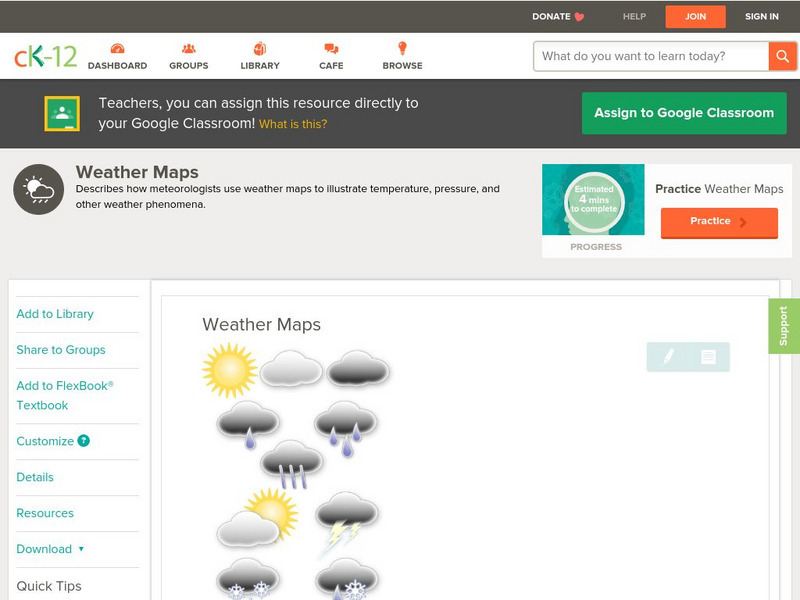
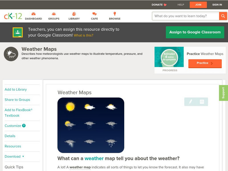
Ck 12: Earth Science: Weather Maps
[Free Registration/Login may be required to access all resource tools.] How meteorologists create and read weather maps.
CK-12 Foundation
Ck 12: Earth Science: Weather Maps
[Free Registration/Login may be required to access all resource tools.] How meteorologists create and read weather maps.
American Geosciences Institute
American Geosciences Institute: Earth Science Week: Geologic Maps and Groundwater
This activity is designed to give students practice using a geologic map to understand how water shapes the land- and is stored within the land- in part of the Grand Canyon.
American Geosciences Institute
American Geosciences Institute: Earth Science Week: Mapping Vertical Movements
Using flubber and plastic wrap, students study the Earth's crust and mantle.
American Geosciences Institute
American Geosciences Institute: Earth Science Week: Seismic Mapping
Students become scientists, and learn about the usef of seismic technology to map patterns of rock formations below the surface of the Earth.
American Geosciences Institute
American Geosciences Institute: Earth Science Week: Geologic Maps & Earthquakes
This activity is designed to give students practice using a geologic map to assess the likelihood and location of a particular natural hazard- earthquakes- in California.
American Geosciences Institute
American Geosciences Institute: Earth Science Week: What's Under My Feet? Learning to Use a Geologic Map
Students use geologic maps to learn about rocks and minerals.
Oswego City School District
Regents Exam Prep Center: Earth Science
Resource for earth science review, with the following topics covered: composition of the Earth, mapping, rocks and minerals, weathering, and earthquakes. Includes a collection of online quizzes, review materials, old exams, and references.
American Geosciences Institute
American Geosciences Institute: Earth Science Week: Texas Rocks
For this investigation, students start exploring the U.S. Geological Survey's (USGS) online version of the geologic map of Texas. The geologic time scale shown will help them figure out how old the rocks are in various parts of Texas.
American Geosciences Institute
American Geosciences Institute: Earth Science Week: Third From the Sun
Students learn about the history of Earth imaging, the Landsat satellite program. They develop interpretation skills as they play a game that involves inferring the subjects of various Landsat images.
American Geosciences Institute
American Geosciences Institute: Earth Science Week: Map Making Basics
This activity will help students discover some features as they create a geologic map.
Science Education Resource Center at Carleton College
Serc: Earth Science Education Activities: Prof. Larry Braile
A lesson plan collection covering plate tectonics, with some structural geology and planetary science projects. The PDF files include activities, hand outs, maps, and directions for building a simple seismometer and seismograph. Also...
American Geosciences Institute
American Geosciences Institute: Earth Science Week: Surficial Features
Using a surficial features map, students see the connections between those features and other Earth systems. They will consider the interactions of the geosphere, hydrosphere, biosphere, and atmosphere.
American Geosciences Institute
American Geosciences Institute: Earth Science Week: Houston Activity: Texas Rocks
Using a geologic time scale and map students investigate the rocks in their area.


