Hi, what do you want to do?
Encyclopedia of Earth
Encyclopedia of Earth: Northern Marianna Islands (United States)
The Encyclopedia of Earth provides an overview of Northern Marianna Islands (United States), including its geography, natural resources, history, government, economy, and much more. Maps and images are also included, along with sources...
Encyclopedia of Earth
Encyclopedia of Earth: Navassa Island (United States)
The Encyclopedia of Earth provides an overview of Navassa Island (United States), including its geography, natural resources, history, government, economy, and much more. Maps and images are also included, along with sources used to...
Encyclopedia of Earth
Encyclopedia of Earth: United States
The Encyclopedia of Earth provides an overview of United States, including its geography, natural resources, history, government, economy, and much more. Maps and images are also included, along with sources used to create the entry.
Encyclopedia of Earth
Encyclopedia of Earth: Wake Island (United States)
The Encyclopedia of Earth provides an overview of Wake Island (United States), including its geography, natural resources, history, government, economy, and much more. Maps and images are also included, along with sources used to create...
Encyclopedia of Earth
Encyclopedia of Earth: Guam (United States)
The Encyclopedia of Earth provides an overview of Guam (United States), including its geography, natural resources, history, government, economy, and much more. Maps and images are also included, along with sources used to create the entry.
Encyclopedia of Earth
Encyclopedia of Earth: American Samoa (United States)
The Encyclopedia of Earth provides an overview of American Samoa (United States), including its geography, natural resources, history, government, economy, and much more. Maps and images are also included, along with sources used to...
Encyclopedia of Earth
Encyclopedia of Earth: United States Virgin Islands (United States)
The Encyclopedia of Earth provides an overview of U.s. virgin islands, including its geography, natural resources, history, government, economy, and much more. Maps and images are also included, along with sources used to create the entry.
Library of Congress
World Digital Library: Map of Atlantic Coast: Chesapeake Bay to Florida
A historic map of the Atlantic coast of America created by cartographer Joan Vinckeboons around 1639 for the Dutch West India Company. A feature on the page allows the visitor to listen to and read the accompanying descriptive text in...
Other
National Atlas
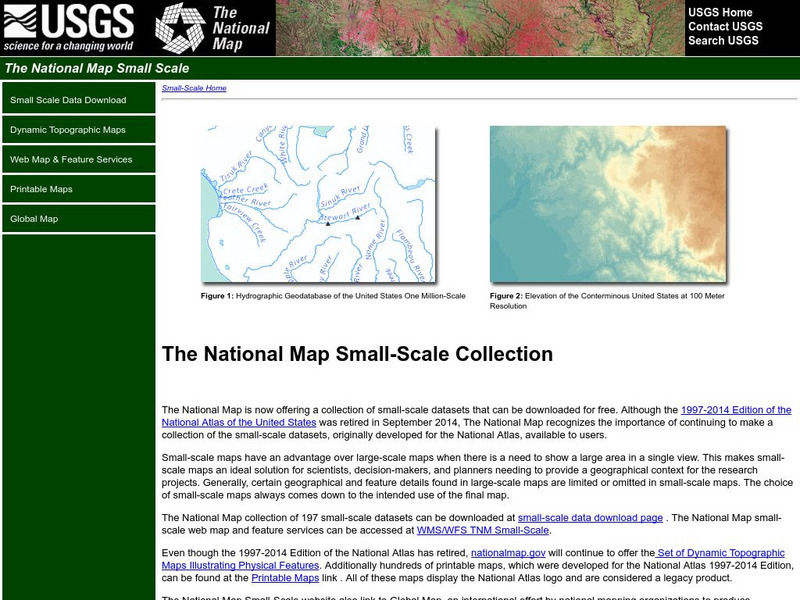
This site is excellent for mapping. You can create ANY kind of map you need. Select all kinds of layers: agriculture, biology, boundaries, climate, history, and more, and then select the geography. It does take some time to figure out...
HotChalk
Hot Chalk: Lesson Plans Page: Edible Geography
Lesson that helps students understand geography of states by creating an edible map of the state, using real food to indicate parts of the state.
ReadWriteThink
Read Write Think: Creating a Persuasive Podcast
This lesson unit has students research a local, state, national, or international issue of personal interest and create and share a two-minute persuasive podcast presenting their research-based opinions on the topic. It includes tools...
Library of Congress
World Digital Library: Manhattan Lying on the North River
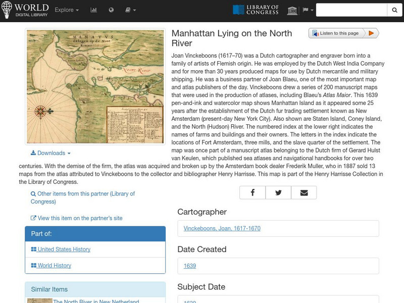
A historic map of Manhattan created by cartographer Joan Vinckeboons around 1639 for the Dutch West India Company. A feature on the page allows the visitor to listen to and read the accompanying descriptive text in seven different...
US Holocaust Memorial Museum
U.s. Holocaust Memorial Museum: Nazi Camps
Extensive site created by the US Holocaust Memorial Museum to explain the people involved with the Nazi concentration/death camps. Learn about who was targeted, and how those who led the camps were ultimately punished. Site provides...
Curated OER
Etc: Maps Etc: House Vote on the Survey Bill, Feb 10, 1824
A map of the United States showing the results of the House vote on the General Survey Bill of 1824 during the presidency of James Monroe. The map is keyed to show the areas of votes for, against, or undecided on the bill. The bill...
American-Israeli Cooperative Enterprise
Jewish Virtual Library: The Partition Plan
The background for creating a plan to partition Palestine, as well as the details of the plan itself and its effects are discussed.
EL Education
El Education: Springfield, Usa an Atlas
Students from Springfield, Massachusetts learn about geography by creating maps and gathering information about the cities and towns named Springfield throughout the United States of America. Students gather information through book and...
Alabama Learning Exchange
Alex: Dream Vacation
This unit teaches young scholars to plan a trip with an itinerary, remain within a budget, and work cooperatively. It is a technology-based project that combines a study of mathematics, economics, geography, and social studies.
Independence Hall Association
U.s. History: Japanese American Internment
After the Japanese attack on Pearl Harbor, fear of Japanese-Americans irrationally increased, resulting in Roosevelt's executive order that created internment camps for American citizens. Read about the camps, the life in the camps, and...
US National Archives
Docsteach: Lewis & Clark's Expedition to the Complex West
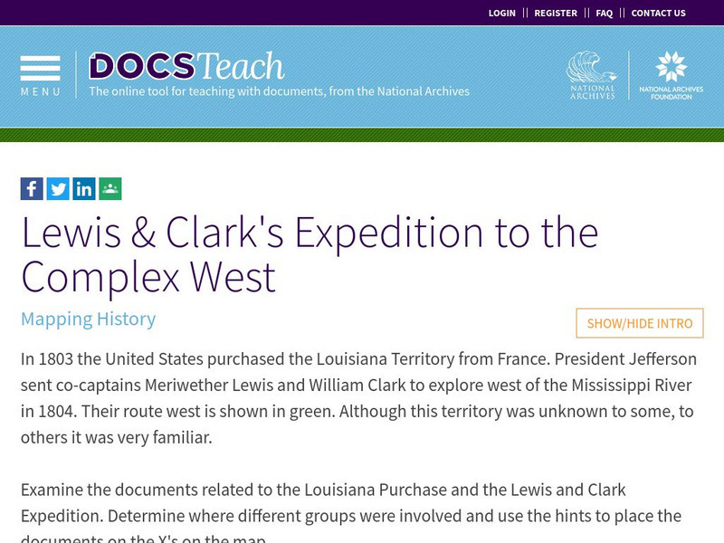
This activity can be used as an introduction or for a closer study of the Lewis & Clark Expedition. Students will learn that the United States purchased the Louisiana Territory in 1803 and President Thomas Jefferson sent Lewis and...
National Geographic
National Geographic: Marine Protected Areas Exploration
In this high school lesson, students explore Marine Protected Areas on an interactive map and compare and contrast three case studies. They learn how the MPA classification system works in the United States, apply that system to example...
US Environmental Protection Agency
Epa: Air Data
The AirData website gives you access to air quality data collected at outdoor monitors across the United States, Puerto Rico, and the U. S. Virgin Islands. The data comes primarily from the AQS (Air Quality System) database. You can...
Alabama Learning Exchange
Alex: Plan the Adventure of a Lifetime With Lewis and Clark
This plan is the first lesson in my unit on Lewis and Clark. This is a project-based, hands-on unit in which students "become" part of the Corps of Discovery - the members traveling in the Lewis and Clark Expedition. In this lesson, the...
EL Education
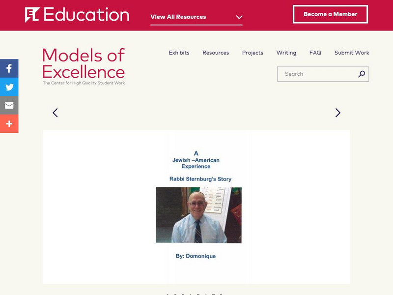
El Education: An Immigrant Experience
As part of a Learning expedition on immigration, 4th grade students in Springfield, Massachusetts, created this series of interview booklets. Students, working together in small groups, interviewed a person who had immigrated to the...
EL Education
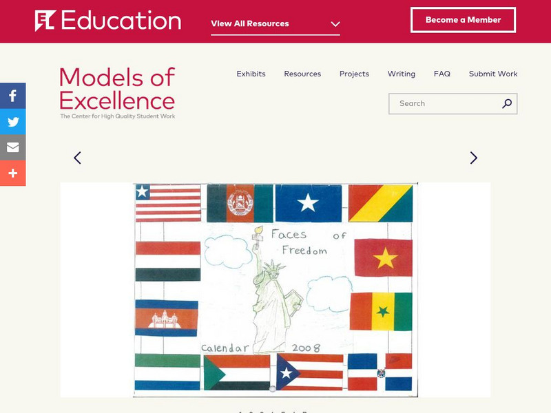
El Education: Faces of Freedom Calendar
This calendar was created by 3rd graders in Rochester, New York, as part of a learning expedition on immigration. As a way to honor the experiences of young immigrants and to learn about immigration, students from this class interviewed...


