Google
Google Maps: The Amazon River Basin, Brazil
Explore the views of the Amazon River Basin. This resource uses the Street View Trekker, a wearable backpack system that allows you to venture to locations only accessible by foot. Features imagery of the Rio Negro, an Amazon Forest...
Read Works
Read Works: Brazil Today: The Amazon River and Basin
[Free Registration/Login Required] An informational text about the Amazon River Basin in Brazil. A question sheet is available to help students build skills in reading comprehension.
Extreme Science
Extreme Science: Amazon River
This Extreme Science article looks at the Amazon River and it is called the world's greatest river.
Read Works
Read Works: Birth of a Mighty River
[Free Registration/Login Required] Students read about the Amazon River and its origins. A question sheet is available to help students build skills in drawing conclusions.
Science Struck
Science Struck: Widest River in the World
Explains why the Amazon River should be considered to be the widest river in the world, rather than the Rio de la Plata, also in South America.
PBS
Pbs Frontline: Jewel of the Amazon
Description of what the discovery of diamonds and the ensuing black market and illegal mining has done to the Amazon Basin of Brazil.
PBS
Pbs Teachers: Soil in the Amazon
Compare plants grown in simulated Amazon soil to those grown in soil prepared by the slash-and-burn method. Describe leaf development in plants grown in different soils and chart, average and graph plant growth by height
PBS
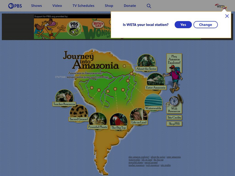
Pbs: Journey Into Amazonia
This is a great site where you can explore the Amazon Rain Forest. Learn about the river, plants, animals, and more. Based on the PBS television series.
Other
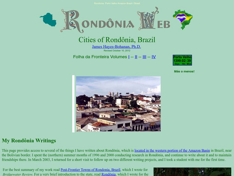
Bridgewater State College: Rondonia Web
Geography and culture of the western Amazon state of Rondonia, including detailed information about urbanization and deforestation and links to other resources about Rondonia.
Other
Mongabay.com: Tropical Rainforests
If you are interested at all in rainforests, this is an excellent place to further your learning. Read about the importance of rainforests, why they are disappearing, and plenty about both the animals and people who live in rainforests...
Khan Academy
Khan Academy: Amazonian Peoples, an Introduction
This is a short introduction to the Amazonian people and their culture.
Science Museum of Minnesota
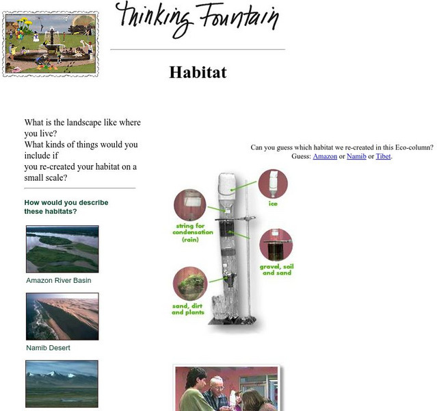
Science Museum of Minnesota: Thinking Fountain: Habitat
Explore the basics of a few habitats and then create an ecocolumn--a simulated cross-section of a biome such as a rain forest--with your own environment.
Curated OER
Unesco: Brazil: Central Amazon Conservation Complex
The Central Amazon Conservation Complex makes up the largest protected area in the Amazon Basin (over 6 million hectares) and is one of the planet’s richest regions in terms of biodiversity. It also includes an important sample of varzea...
Curated OER
Educational Technology Clearinghouse: Maps Etc: Brazil, 1915
Map of Brazil showing boundaries current to 1915, major cities, rivers, Amazon River basin, the Matto Grosso, and the coastal mountain systems south of Bahia.
Curated OER
Educational Technology Clearinghouse: Maps Etc: South America (Physical), 1915
Physical map of South America showing major cities (including cities with a population over one million), major landforms and waterways, including the Andes, the Amazon River and Amazon Basin, the Guyana Highlands, the Parana River, the...
Other
Native American Indian Cultures
Extensive listing of the Native American Indian Cultures from Mexico and various parts of South America. Click on an Indian culture and obtain valuable information about each unique tribe.
Curated OER
Educational Technology Clearinghouse: Maps Etc: South American Rainfall, 1901
A map from 1901 showing mean annual rainfall in South America. The map shows the equatorial rain belt in July and in January, the direction of prevailing winds and their effect on rainfall patterns. The map shows regions ranging from...
Curated OER
Educational Technology Clearinghouse: Maps Etc: Drawing of South America, 1872
A base map from 1872 illustrating instructions for drawing South America. The map shows the equator, major rivers, mountain systems, and includes two east-west cross-sections showing the central and southern Amazon Basin and Andes.
Curated OER
Educational Technology Clearinghouse: Maps Etc: Rainfall in South America, 1898
A map from 1898 showing mean annual rainfall in South America. The map shows the equatorial rain belt in July and in January, the direction of prevailing winds and their effect on rainfall patterns. The map shows regions ranging from...
Curated OER
Etc: Maps Etc: Orographical Map of South America, 1911
An orographic map of South America from 1911 showing the primary mountain systems and general elevations, and major river systems. The map is color-coded to show elevations from sea level to over 12000 feet, with highlands in buff tints...


