PBS
Pbs Learning Media: Visualizing Topography
Explore the topography of a hill, a valley, and a cliff in this interactive activity featuring visualizations of three-dimensional topography in two dimensions. Adapted from Stephen Reynolds' "Visualizing Topography."
Science Education Resource Center at Carleton College
Serc: Investigate Topography Caused by Glacial Lake Agassiz & Glacial Riv Warren
In this field investigation students will travel to Bonanza Educational center located on Big Stone Lake. The students will hike up the prairie where they will sit and sketch the topography of the land. The students will then travel down...
NASA
Nasa: Shuttle Radar Topography Mission
The Shuttle Radar Topography Mission, a project to collect the most accurate topographic database for the Earth, is documented at this site.
NASA
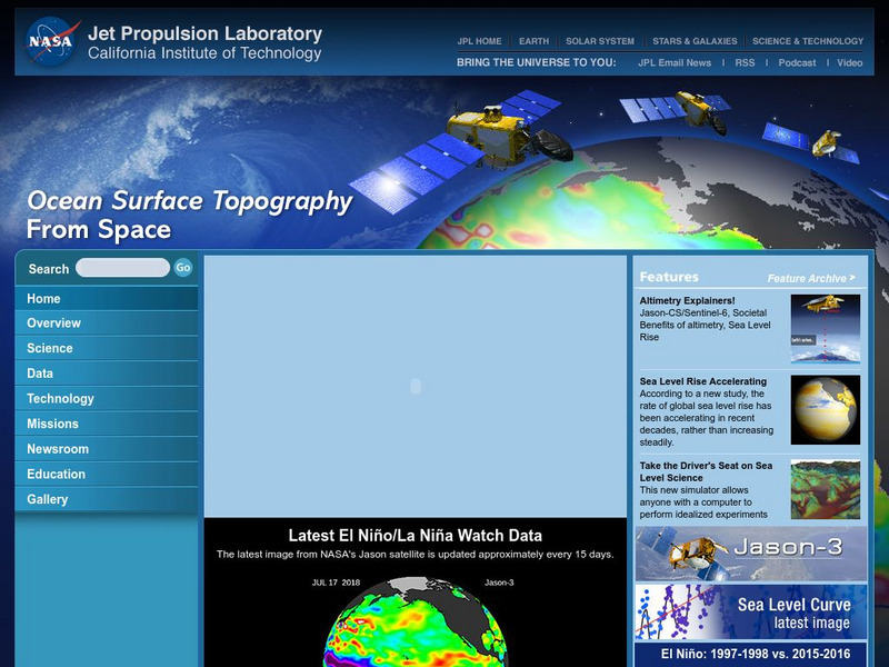
Nasa: Ocean Surface Topography From Space
Find out about ocean surface topography and the many contributing factors that continually shape the oceans and its sea levels.
Country Studies US
Country Studies: Saudi Arabia: Topography and Natural Regions
This comprehensive article on the topography of Saudi Arabia is from the Country Studies section of the Library of Congress. Read about the north end of the Great Rift Valley, the massive deserts, and the deep aquifers on the Arabian...
Ducksters
Ducksters: Earth Science for Kids: Topography
Kids learn about the Earth science subject of topography including features such as landforms, elevation, latitude, longitude, and topographical maps.
Country Studies US
Country Studies: Cambodia: Topography
Read a great description of the topography of Cambodia which takes you from the heights of the mountains to the Gulf of Thailand. From the Country Studies section of the Library of Congress.
Climate Literacy
Clean: Impacts of Topography on Sea Level Change
Young scholars use web-based animations to explore the impacts of ice melt, specifically changes to sea level. They also use topographic maps to examine the relationship between topography and sea level change by mapping changing...
Indiana University
Indiana Univ. Bloomington: Geo Notes: Indiana's Region of Karst Topography [Pdf]
Describes the geological features of the karst topography found in Indiana.
National Geographic
National Geographic: Energy Solutions: Tapping Into Topography of Lake Turkana
In this lesson, students read and analyze articles about the alkaline water in Lake Turkana in Kenya, and about a wind energy project near Lake Turkana. They then examine the many factors that must be considered when undertaking this...
Science Education Resource Center at Carleton College
Serc: Visualizing Topography
This module helps learners learn to identify terrain features on topographic maps. Students manipulate animations of hills, valleys, and cliffs to see the terrain from various angles. The module also provides instruction on how to read...
USA Today
How Topography Affects Weather
This fantastic multimedia site contains information about the causes of extreme and dangerous weather. The site explains how the earth's surface affects the weather and supplies incredible video clips to illustrate the concepts...
NASA
Nasa: Dynamic Ocean Topography With Current Arrows
Color-coded image of ocean currents depicts directional flow and speed of the currents across the globe.
Science Education Resource Center at Carleton College
Serc: Investigating Karst Topography and Connection to Se Minnesota Sinkholes
In this field investigation, middle schoolers will be able to observe, record, compare/contrast a variety of sinkholes located in the southeastern Minnesota area, including a significant one at the Harmony Karst Interpretive Site. The...
Science Education Resource Center at Carleton College
Serc: Examining Topography Stream Discharge Sherburne National Wildlife Refuge
Students problem solve stream discharge by estimating, measuring, and collecting data. Students graph actual contour lines, and use these measurements to hypothesize stream discharge and sediment load from a restored wetland using a dry...
Science Education Resource Center at Carleton College
Serc: Exploring Seafloor Topography
Users learn to generate and interpret graphs that show seafloor depth versus distance by using the GeoMapApp.
Vision Learning
Visionlearning: Earth Science: Plate Tectonics I: Geologic Revolution
Instructional module focusing on the development of plate tectonic theory. Discussion includes the evidence of Pangaea, and the processes of seafloor topography and seafloor spreading. Site also includes an interactive practice quiz and...
Alabama Learning Exchange
Alex: Topography of Fruit
This is an attempt to help students understand contour lines in map-making through the vector of digital photography. This hands-on activity will create an art piece out of fruit that will be analyzed to create topographic maps.
Science Buddies
Science Buddies: Career Profile: Geographer
Learn about the career of a geographer, a social scientist that uses knowledge of climate, culture, and topography to address a whole host of problems the world faces. Find out the educational requirements and what the job entails in...
Science Education Resource Center at Carleton College
Serc: Discover Our Earth
Study earthquakes, volcanoes, topography, plate tectonics, and sea level change using graphs, maps, and movies. Engage in earth science knowledge discovery, critically evaluate the data and results, and reach conclusions about the earth...
Georgia Department of Education
Ga Virtual Learning: Weather and Climate
In this amazingly comprehensive interactive tutorial you will learn how factors such as ocean currents, topography, and air currents affect weather patterns. You will also learn the similarities and differences between weather and climate.
Science Education Resource Center at Carleton College
Serc: Fathoms, Ship Logs, and the Atlantic Ocean
Students use data from ship logs to graph a profile of the Atlantic Ocean. They will rely on prior knowledge of seafloor topography, instructions on how to read a bathymetric map, and observe a demonstration where the depth of the ocean...
Science Education Resource Center at Carleton College
Serc: Hotspot Lesson: Mantle Plumes
A lesson that explains a theory on magma generation at hotspots called the mantle plume theory. The goal of this lesson is to introduce students to a theory that scientists are actively trying to prove or refute. Through this, students...
PBS
Pbs: The Living Edens: Borneo: From Caves to Kinabalu
View pictures, read text, and listen to information about the topography, flora, and fauna of Borneo, the world's third largest island.
Other popular searches
- Contour Maps
- Contour Maps and Elevation
- Contour Maps Topography
- Contour Lines Maps
- Contour Lines on Maps
- Contour Lines Map Reading
- Reading Contour Maps
- Contour Interval Map Scale
- Worksheets Contour Maps
- Geography Contour Maps
- Isolines and Contour Maps
- Music Contour Maps


