Merriam-Webster
Merriam Webster: Dictionary Illustration: Types of Volcanoes: Types of Volcanoes
A labeled diagram of three types of volcanoes: cinder cone, shield, and stratovolcano.
University of Hawai'i
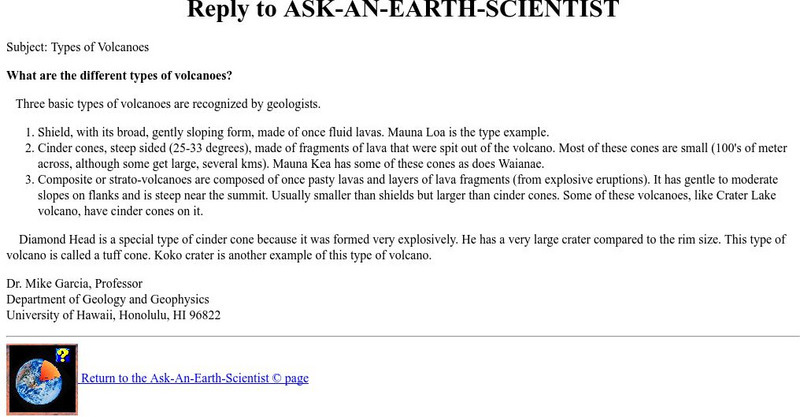
Ask an Earth Expert: What Are the Different Types of Volcanoes?
A concise explanation of the three types of volcanoes recognized by geologists.
Read Works
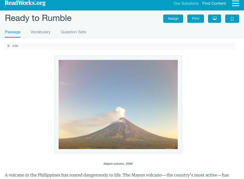
Read Works: Ready to Rumble
[Free Registration/Login Required] Students read about three different types of volcanoes. A question sheet is available to help students build skills in classifying and categorizing.
Climate Literacy
Clean: Mt. Pinatubo and the Atmosphere
This lesson explores the impact of volcanic eruptions on the atmosphere. Students will analyze three types of visual information: a graph of aerosol optical depth v. global temperature, a global map with temperature anomalies, and an ash...
Other
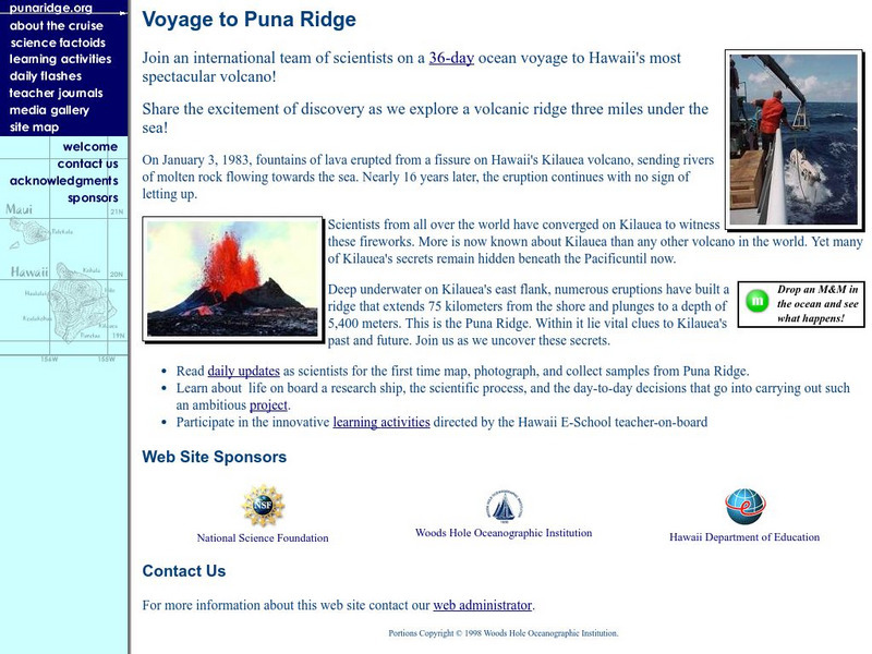
Puna Ridge: Voyage to Puna Ridge
On January 3, 1983, fountains of lava erupted from a fissure on Hawaii's Kilauea volcano, sending rivers of molten rock flowing towards the sea. Nearly 16 years later, the eruption continues with no sign of letting up. This site provides...
Ohio State University
Beyond Penguins and Polar Bears: The Forces That Change the Face of Earth
Learn how different types of Earth processes change Earth's surface.
PBS
Nova: Seismic Signals
Scientists have determined that the earthquakes preceding volcanic eruptions are different than those that precede earthquakes. Discover the sounds and wave patterns produced by the three different types of volcanic seismic activities.
Science Education Resource Center at Carleton College
Serc: A Data Rich Exercise for Discovering Plate Boundary Processes
This article in the Journal of Geoscience Education describes a classroom exercise based on four world maps containing earthquake, volcano, topographical and seafloor age data. Young scholars participate in this exercise by using a...
Curated OER
Educational Technology Clearinghouse: Maps Etc: North America, 1868
A map from 1868 of North America, Central America, and the Caribbean showing the physical features of the region, vegetation types, ocean currents, temperatures, principal products and mineral deposits. Mountain chains are represented by...
Curated OER
Educational Technology Clearinghouse: Maps Etc: South America (Physical), 1868
A map from 1868 of South America showing the physical features of the region, vegetation types, ocean currents, temperatures, principal products and mineral deposits. Mountain chains are represented by lines of varying thickness, with...


