Curated OER
USA: Physical Map
For this United States physical map worksheet, learners investigate the major landforms and bodies of water located throughout the country.
Curated OER
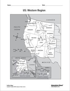
US: Western Region Map
For this United States Western Region worksheet, students examine the state boundaries and landforms found in this region. The map also highlights each of the state capitals.
Curated OER
South US Region
For this United States political map worksheet, students examine the Southern Region state boundaries. The map also highlights each of the state capitals denoted by stars. The states, capitals and major landforms are labeled.
Curated OER
U.S. Geography for Children
In this U.S. map activity worksheet, students observe maps of the continental United States, Hawaii, and Alaska, locate and label landforms and bodies of water, and create symbols for natural resources and places of interest. Students...
Curated OER
U.S. Geography for Children: The Northeast
In this map skills of the northeastern United States learning exercise, learners observe an outline map, locate and label the states, and designated landforms and bodies of water; and create symbols and a map key for sources of economy...
Other
Topo Zone: Free Usgs Topo Maps for the Entire United States
A huge collection of topographic maps for each of the US states. Scroll down to see a map of the United States and click on the state you are interested in. From there, you can search for a particular location, choose a featured map, or...
Houghton Mifflin Harcourt
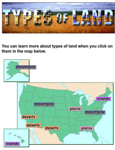
Harcourt: School Publishers: Types of Land
This clickable map of the United States defines different geographic features such as mountains, plains, islands, and deserts.
Enchanted Learning
Enchanted Learning: Geography
At this site from Enchanted Learning, you can take a quiz, printout a map of the United States of America, and see where the Middle East is located in the world. Links are also provided for additional information.
NOAA
Noaa: Estuaries 101 Curriculum: Where Rivers Meet the Sea
A complete learning module where students watch an introductory video, take an estuary quiz, learn about landforms related to the environment, and use maps and real-time data to study estuary ecosystems in the United States.


