Curated OER
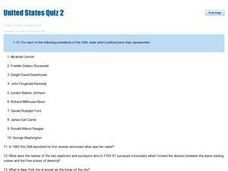
United States Quiz Two
In this United States instructional activity, students answer short answer questions about which political party the Presidents belonged to and geography of the country. Students answer 20 short answer questions.
Curated OER
States in the USA Quiz
In this online interactive geography quiz worksheet, students respond to 50 identification questions about the states in the United States of America. Students have 4 minutes to complete the quiz.
Freecloud Design
Stack the States™
Kids have fun learning US geography and state facts, including capitals, nicknames, major cities, and landmarks. They can choose between the game, or informational flashcards for each state.
Curated OER
United States Map Quiz
For this online interactive geography quiz worksheet, students respond to 50 identification questions about the shapes of countries shown. Students have 5 minutes to complete the quiz.
Curated OER
Geography Quiz 18
In this geography activity, students answer short answer questions about the geography all over the world. Students complete 10 short answer questions.
Curated OER
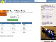
Hottest US Cities Quiz
In this online interactive geography quiz learning exercise, students respond to 20 identification questions about the hottest cities in the United States. Students have 4 minutes to finish the timed quiz.
Curated OER
Biggest Metro Areas in the USA
In this online interactive geography quiz worksheet, students respond to 100 identification questions about metropolitan areas in the United States. Students have 10 minutes to complete the quiz.
Curated OER
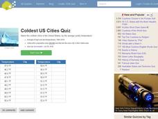
Coldest US Cities Quiz
In this online interactive geography quiz worksheet, students respond to 20 identification questions about the coldest cities in the United States. Students have 4 minutes to complete the quiz.
University of California
The Civil War: Strategies and Battles
Was it the War against Northern Aggression or the War to Unify the Union? Scholars investigate the key battles and strategies of the American Civil War to determine just why the North was victorious in the end.
Curated OER
Biggest Cities in the UK Quiz
In this online interactive geography quiz worksheet, students respond to 20 identification questions about the biggest cities in the United Kingdom. Students have 4 minutes to complete the quiz.
Curated OER
Majority Muslim Countries Quiz
In this online interactive geography quiz worksheet, students respond to 47 identification questions about Muslim cities. Students have 4 minutes to complete the quiz.
Curated OER
Northernmost Countries Quiz
In this online interactive geography quiz activity, students respond to 20 identification questions about cities located in the northernmost regions of the world. Students have 4 minutes to complete the quiz.
Curated OER
USA Immigration by Country Quiz
In this online interactive geography quiz learning exercise, students respond to 30 identification questions about countries U.S. citizens have immigrated from. Students have 5 minutes to complete the quiz.
Maps of Mexico
Virtual Picture Travel Map of Massachusetts
Click on Massachusetts on the US map in order to Travel there and take a virtual tour of Boston. Visit places of interest such as Harvard University, MIT, John F. Kennedy Library and Museum, the Freedom Trail, Copley Square, Trinity...
Maps of Mexico
Virtual Picture Travel Map of Massachusetts
Click on Massachusetts on the US map in order to Travel there and take a virtual tour of Boston. Visit places of interest such as Harvard University, MIT, John F. Kennedy Library and Museum, the Freedom Trail, Copley Square, Trinity...
