K12 Reader
United States Geography
Encourage reading for information with a text about United States geography. Kids read a short passage about the landforms in the United States, including mountain ranges and natural resources, and answer five reading comprehension...
Curated OER
Landforms and Resources of the United States and Canada
In this North American geography activity, students read about the physical features and resources of the United States and Canada. Students take notes and answer 3 short answer comprehension questions as they read the selection.
Curated OER
The United States and Canada Review Worksheet and Study Guide
In this geography skills worksheet, students respond to 34 short answer questions about the geographic features and climates found in the United States and Canada.
Curated OER
USA: Physical Map
For this United States physical map worksheet, learners investigate the major landforms and bodies of water located throughout the country.
Freecloud Design
Stack the States™
Kids have fun learning US geography and state facts, including capitals, nicknames, major cities, and landmarks. They can choose between the game, or informational flashcards for each state.
Curated OER
Virginia State Map
For this geography of Virginia worksheet, students color the map and label major cities and physical features. Students also study a second map showing the location of the state of Virginia in the United States.
Curated OER
California State Map
In this geography of California activity, students color the map and label major cities and physical features. Students also study a second map showing the location of the state of California in the United States.
Curated OER
Georgia State Map
For this geography of Georgia worksheet, students color the map and label major cities and physical features. Students also study a second map showing the location of the state of Georgia in the United States.
Curated OER
Florida State Map
In this geography of Florida worksheet, students color the map and label major cities and physical features. Students also study a second map showing the location of the state of Florida in the United States.
Curated OER
Delaware State Map
In this geography of Delaware instructional activity, students color the map and label major cities and physical features. Students also study a second map showing the location of the state of Delaware in the United States.
Weebly
Ancient China
From China's physical geography and earliest beginnings of civilization to the Qin and Han dynasties, here is a nicely designed worksheet on ancient China, which includes a graphic organizer and timeline to summarize the reading...
Curated OER
Zoo-Goers Ready to Greet Baby Panda
The Smithsonian's National Zoo, also known as the Washington Zoo, is one of the oldest zoos in the United States. Youngsters read and discuss a news article about Tai Shan, baby panda that was one of the zoos most famous residents. They...
iCivics
County Basics
To understand the concept of a county government system, scholars read a short passage, view a helpful visual aid, use the web to conduct some research about their local areas, and then answer related questions online.
Curated OER
Geography Journey
In this geography worksheet, students use a map of Amtrak train routes (not included) to answer 10 short answer questions. Students describe physical features and landmark cities they would see if traveling by train across the country.
Other
Topo Zone: Free Usgs Topo Maps for the Entire United States
A huge collection of topographic maps for each of the US states. Scroll down to see a map of the United States and click on the state you are interested in. From there, you can search for a particular location, choose a featured map, or...
Library of Congress
Loc: America the Beautiful
A resource page of online map resources, lesson plans, students activities and the transcript of a live chat on the geography of the United States.
Houghton Mifflin Harcourt
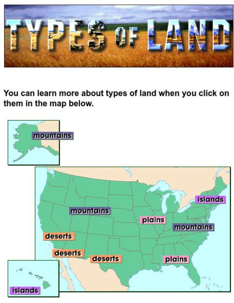
Harcourt: School Publishers: Types of Land
This clickable map of the United States defines different geographic features such as mountains, plains, islands, and deserts.
Johns Hopkins University
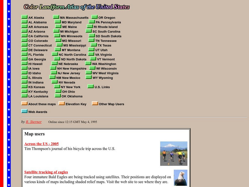
John Hopkins University: Color Landform Atlas of the u.s.
This site from John Hopkins University provides detailed maps of and physical information on each of the 50 states. Maps range from relief maps to satellite images, to historical maps.
Encyclopedia Britannica
Encyclopedia Britannica: The Rio Grande
This entry provides a description of the physical features, the economy surrounding and the study and exploration of the Rio Grande river.
Mocomi & Anibrain Digital Technologies
Mocomi: What Is a Region?
Learn about regions, the different types, how the United States is divided, and other interesting facts.


