Hi, what do you want to do?
Artisan Global
QuakeFeed Earthquake Map, Alerts and News
Amateur seismologists explore Earth's earthquakes in real time using a variety of map styles and parameter selections.
Space Awareness
Where on Earth Am I?
Almost every phone has GPS installed, but a large number of teens don't know how the technology works. An initial activity illustrates how GPS determines a location on Earth. Scholars then apply trilateration procedures to a...
Aurora Trust
Journey Under the Sea
Discover the interesting world of maritime archaeology and explorations under the sea with this nice set of worksheets, which cover such topics as search tools and techniques of underwater archaeology, carbon dating,...
Curated OER
Shadow Know-How
In this science worksheet, learners identify 11 bird species by their shadows or silhouettes. Students write the name of the bird in the box under the shadow. Answers are provided upside down at the bottom of the page.
Curated OER
Early Greeks-Unit Test
In this social studies worksheet, 7th graders focus on Early Greeks. Students respond to a total of 30 matching, multiple choice, and fill in the blank questions.
Other
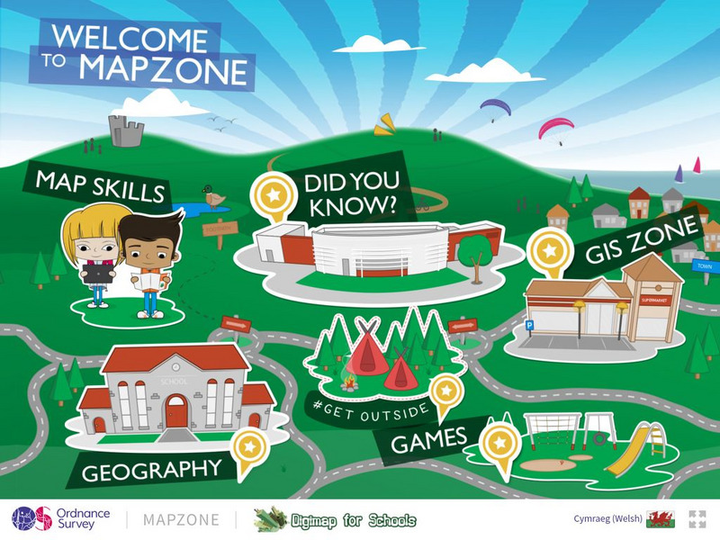
Ordnance Survey: Mapzone: Gis Zone
Understand the digitalization of maps at the end of te twentieth century. Discover what GIS stands for, what it does, and how it helps many people in the world.
Other
Esri What Is Gis?
This site is provided by ESRI, a leading GIS software developer. It explains how GIS works and ways in which it is used.
TeachEngineering
Teach Engineering: Digital Mapping and Geographic Information Systems (Gis)
Geographic information systems (GIS), once used predominantly by experts in cartography and computer programming, have become pervasive in everyday business and consumer use. This unit explores GIS in general as a technology about which...
US Geological Survey
Geographic Information Systems
This is an extensive resource explaining what Geographic Information Systems (GIS) are, how they work, applications of GIS, and GIS through history.
National Geographic
National Geographic: Gis in Action
Use maps to solve problems and help animals. Click on an animal to learn important facts, then click on the map to see layers of different kinds of information.
American Geosciences Institute
American Geosciences Institute: Earth Science Week: Analyzing Hurricanes Using Web and Desktop Gis
In this activity, students research hurricane data to discover their behavior and patterns. They map them across decades to see whether their frequency is increasing. They study Hurricane Andrew and investigate the relationship between...
Other
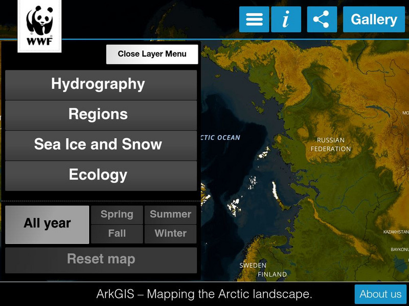
Ark Gis: Exploring the Arctic
Interactive mapping platform that combines and integrates existing data about the environment and human activity in the Arctic.
Other
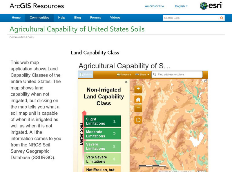
Esri: Arc Gis: Agricultural Capability of United States Soils
A sophisticated map tool that shows the capability of soils for agriculture, with or without irrigation, for the whole of the United States. Enter a location and a color coded map is shown, along with a key for interpreting it. The...
Other
Great Lakes Information Network
The Great Lakes Science Center provides research on various topics concerning the Great Lake environment such as fish advisories, contaminants, threatened species, low water levels, and sustainable development of the Lakes.
Science Buddies
Science Buddies: Science Careers: Mapping Technician
Mapping technicians, also called surveying technicians, as their name suggests, use many different tools to make maps of many kinds. This Science Buddies site lays out the requirements needed to become a mapping technician, as well as...
Other
Asia Foundation: Information and Communication Technology for Development [Pdf]
A two-page overview of how this organization supports the growth of information and communication technology in Asia, what types of technology it promotes, and why it is such an important issue to the development and modernization of...
Other
Natural Resource Information Center: Maps of Montana
Resource contains 14 different maps of Montana in four different formats. Maps range anywhere from the county maps to the Indian reservation maps.
Other
Natural Resource Information Center: Maps of Montana
Resource contains 14 different maps of Montana in four different formats. Maps range anywhere from the county maps to the Indian reservation maps.
Other
Ordnance Survey: Map Zone
All kinds of fun and interesting ways to learn about maps and acquire mapping skills.
BBC
Bbc: Bitesize Geography: Os Map Skills
A short tutorial on mapping tools and how to read maps. Covers features of maps, symbols, the compass, scale, distance, how height is represented, and grid references. Includes multiple-choice quiz at the end.
52 Stairs Studio
Scribble Maps
Easily draw on maps and then share them with others. Simple enough to be used by students but powerful enough to be used by GIS professionals.
University of California
Us Geological Survey: Cartogram Central
The USGS offers detailed information on Types of Cartograms, Congressional Districts, Software for Cartograms, Publications, and a Carto-Gallery.
Other
Nyc.gov: Ny City Map
Enter an address or area into NYCityMap and not only will it be highlighted on the map, but you will also be able to find schools, libraries, hospitals, parks, markets, wifi hotspots, etc. that are in close proximity to the address.
Association of Religion Data Archives
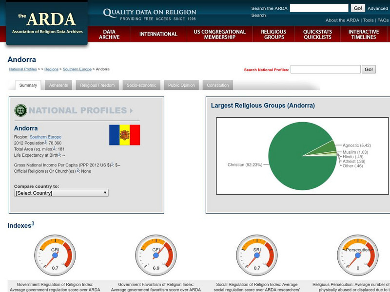
Association of Religion Data Archives: National Profiles: Andorra
Compilation of religious data and research about Andorra, along with regional and world comparisons. Includes select socioeconomic data, GIS maps (road, satellite, hybrid) and an insightful mix of information about religious membership...


