US Holocaust Memorial Museum
U.s. Holocaust Memorial Museum: Holocaust History Animated Maps
To fully understand the breadth and scope of the Holocaust, view the following maps of key locations. These maps are in video form with explanations provided. There are also links provided for further research.
Curated OER
U. Of Texas: Yemen: Distribution of Ethnoreligious Groups and Key Tribal Areas
An interesting map showing the distribution of the major religious groups, the tribal areas, and pie graphs showing the percentages of ethnic groups and religious sects. From the Perry-Castaneda Collection.
BBC
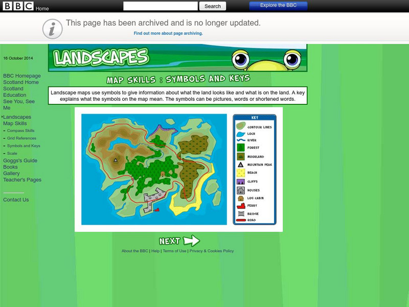
Bbc: Landscapes: Map Skills: Symbols and Keys
A guide for young learners to understand reading maps and their keys.
Other
Islam Project: Maps
A series of historical and near-present-day maps that span Islamic history. Starting with A.D. 750, the maps illustrate both the spread of Islam (from Medina outward to Africa, the Middle East, Europe, and other parts of the world) and...
Google
Google Maps: Everest Base Camp, Nepal
Four Googlers decided go on a trip to Everest Base Camp in 2011. They loaded their packs with cameras, tripods, wide-angle lenses, solar chargers, batteries, and laptops, and hopped on a plane to Nepal. They captured a collection of...
Other
Map of Gibraltar
This site provides a detailed map of Gibraltar, Spain. It includes a map key, and also an image of where Gibraltar is in relation to Spain.
Texas State Historical Association
Texas State Historical Association: Texas Geology Map [Pdf]
A black and white outline map that can be colored in, using the key provided, to show the geologic periods in Texas history. A full color map is available in the Texas Almanac, which is free to download from the main website.
Other
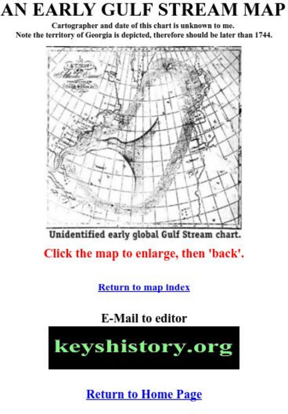
Florida Keys History Museum: An Early Gulf Stream Map
This is one of the earliest maps of the Gulf Stream, probably after 1744.
University of Oregon
Mapping History: Late Aegean Bronze Age
A key makes this map useful for locating cities and palaces of the Late Aegean Bronze Age (1250-1000 BC) and for understanding the extent of Mycenaean culture.
BBC
Bbc History: World Wars: World War Two: Animated Map: Burma Campaign
Map animation tracks key events that unfolded in Burma during the Second World War, beginning with the Japanese invasion.
Sophia Learning
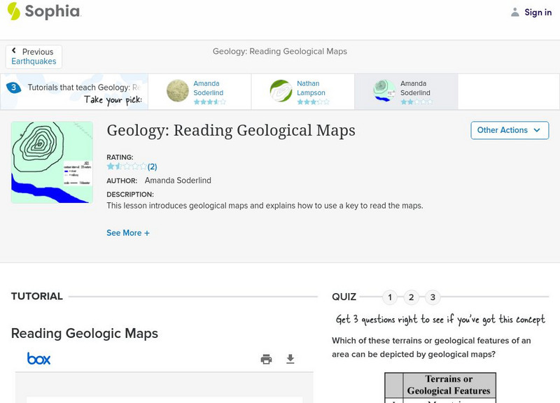
Sophia: Geology: Reading Geological Maps: Lesson 3
This lesson introduces geological maps and explains how to use a key to read the maps. It is 3 of 3 in the series titled "Geology: Reading Geological Maps."
Maps of Mexico
Virtual Picture Travel Map of Florida
Click on Florida and take a virtual tour of Daytona, Orlando, Cocoa Beach, West Palm Beach, Ft. Lauderdale, Miami, Key West, Naples, Fort Myers Beach, Fort Myers, St. Petersburg, Clearwater and Tampa. Visit places of interest such as the...
Maps of Mexico
Virtual Picture Travel Map of Florida
Click on Florida and take a virtual tour of Daytona, Orlando, Cocoa Beach, West Palm Beach, Ft. Lauderdale, Miami, Key West, Naples, Fort Myers Beach, Fort Myers, St. Petersburg, Clearwater and Tampa. Visit places of interest such as the...
Other
Asia Tour: Map of Cambodia
Follow the key on this map of Cambodia from Asia Tour to find the many things to see in this interesting country.
Other
Wind Map
An invisible, ancient source of energy surrounds us-energy that powered the first explorations of the world, and that may be a key to the future. This map shows you the delicate tracery of wind flowing over the US.
W. W. Norton
W.w. Norton & Company: Map of the Unification of Italy (1850S to the 1870s)
Map showing Italian unification. Illustrated key indicates when territory was acquired.
United Nations
United Nations: Cartographic Section: The World Today [Pdf]
Here is an up-to-date political map of the world today. Very detailed with a good key.
BBC
Bbc History: Animated Map: The Italian Campaign
This animated map gives a good visual of the Italian Campaign which began in Sicily in 1943. Each map has a description of the action, a key is provided, and just the map animation can be replayed, or view the entire site again.
Other
Intellicast: Daily Parcipitation in the United States
This page has a map of the United States with a key for precipitation. The key tells you the estimated precipitation for previous day.
PBS
Pbs: American Experience: Destination Cuba
A nice map of the island with information on history, places, and events. Click on the map to bring up a larger Cuba map, then you can click on various places to learn more.
Curated OER
Etc: Maps Etc: Bull Run, Battle of the Forenoon, June 21, 1861
A map of the morning operations of the First Battle of Bull Run or First Battle of Manassas, the initial major land battle of the American Civil War, July 21, 1861. The map shows Bull Run Creek, Young's Branch, the Stone Bridge and Stone...
Curated OER
Etc: Maps Etc: Bull Run, Battle of the Afternoon, July 21, 1861
A map of the afternoon operations of the First Battle of Bull Run or First Battle of Manassas, the initial major land battle of the American Civil War, July 21, 1861. The map shows Bull Run Creek, Young's Branch, the Stone Bridge and...
Curated OER
Etc: Maps Etc: The Peaks and Volcanoes Which Form the Andes, 1873
An orographic sketch map from 1873 of the Andes mountain chains. The map divides the system into the Andes of Columbia and Ecuador, Andes of Bolivia and Peru, Andes of Chile, and Andes of Patagonia. The map is keyed to show the prominent...
Other popular searches
- Map Key and Legend
- Map Legends
- Map Key Legend
- Map Keys and Legends
- Map Key Legend Activities
- Map Legends and Symbols
- Map Legends First Grade
- Interpreting Map Legends
- Reading Map Legends
- Creating Map Legends
- Using Map Legends
- Semantic Map Legends


