Curated OER
How High Is That?
Students explore the National Spatial Reference System. For this vertical position lesson, students will discuss the use of vertical position data and solve practical problems involving geographic positioning.
Curated OER
Plot Your Course
Students determine distance and direction on a nautical chart. In this nautical instructional activity, students identify obstacles and characteristics of common aid to navigation on a nautical chart.
Curated OER
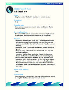
All Shook Up
Students measure movements in the Earth's crust due to seismic activity. Students calculate the amount of displacement in horizontal and vertical direction due to an earthquake.
Curated OER
Images of Katrina
High schoolers use maps and online data to find specific geographic areas. In hurricane Katrina lesson students use aerial photographic imagery to see some impacts of hurricane Katrina.
Curated OER
All Shook Up
Students calculate the amount of displacement after an earthquake. In this seismic event lesson plan students research the Internet, and fill out a CORS data sheet.


